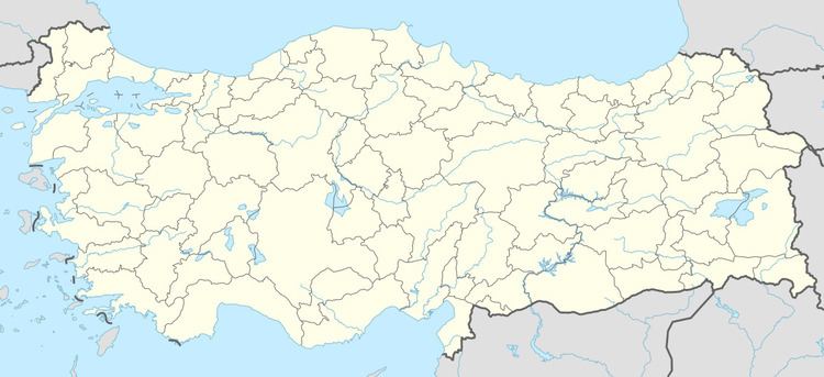
District Bor Postal code 51700 Elevation 1,250 m Area code 0388 | Time zone EET (UTC+2) Licence plate 51 Population 163 (2011) | |
 | ||
Karamahmutlu is a village in Bor district of Niğde Province, Turkey. At 37°50′N 34°39′E it is situated to the east of Turkish state highway which connects Niğde to Mediterranean coast. Its distance to Bor is 21 kilometres (13 mi) to Niğde is 31 kilometres (19 mi). The population of Karamahmutlu was 163 as of 2011.
Map of Karamahmutlu, 51700 Karamahmutlu K%C3%B6y%C3%BC%2FBor%2FNi%C4%9Fde, Turkey
References
Karamahmutlu Wikipedia(Text) CC BY-SA
