
Coat of arms Flag Rural localities 99 | Selsoviets 17 Area 3,786 km² | |
 | ||
Federal subject Republic of Bashkortostan | ||
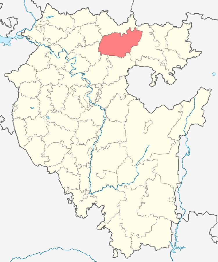
Karaidelsky District (Russian: Караиде́льский райо́н; Bashkir: Ҡариҙел районы) is an administrative and municipal district (raion), one of the fifty-four in the Republic of Bashkortostan, Russia. It is located in the north of the republic and borders with Askinsky District in the north, Duvansky District in the east, Nurimanovsky and Blagoveshchensky Districts in the south, Mishkinsky District in the southwest, and with Baltachevsky District in the west. The area of the district is 3,786 square kilometers (1,462 sq mi). Its administrative center is the rural locality (a selo) of Karaidel. As of the 2010 Census, the total population of the district was 27,945, with the population of Karaidel accounting for 21.4% of that number.
Contents
- Map of Karaidelsky District Republic of Bashkortostan Russia
- History
- Administrative and municipal status
- References
Map of Karaidelsky District, Republic of Bashkortostan, Russia
History
The district was established in February 1932.
Administrative and municipal status
Within the framework of administrative divisions, Karaidelsky District is one of the fifty-four in the Republic of Bashkortostan. The district is divided into seventeen selsoviets, comprising ninety-nine rural localities. As a municipal division, the district is incorporated as Karaidelsky Municipal District. Its seventeen selsoviets are incorporated as seventeen rural settlements within the municipal district. The selo of Karaidel serves as the administrative center of both the administrative and municipal district.