Official name Karadkhed Dam D01295 Opening date 1978 Impounds local river Height 19 m | Type of dam Earthfill Length 1,454 m (4,770 ft) Surface area 289 km² | |
 | ||
Similar Bhamer Dhule, Tandulwadi Fort, Arnala fort, Dapodi railway station, Visapur Fort | ||
Karadkhed Dam, is an earthfill dam on local river near Deglur, Nanded district in state of Maharashtra in India.
Contents
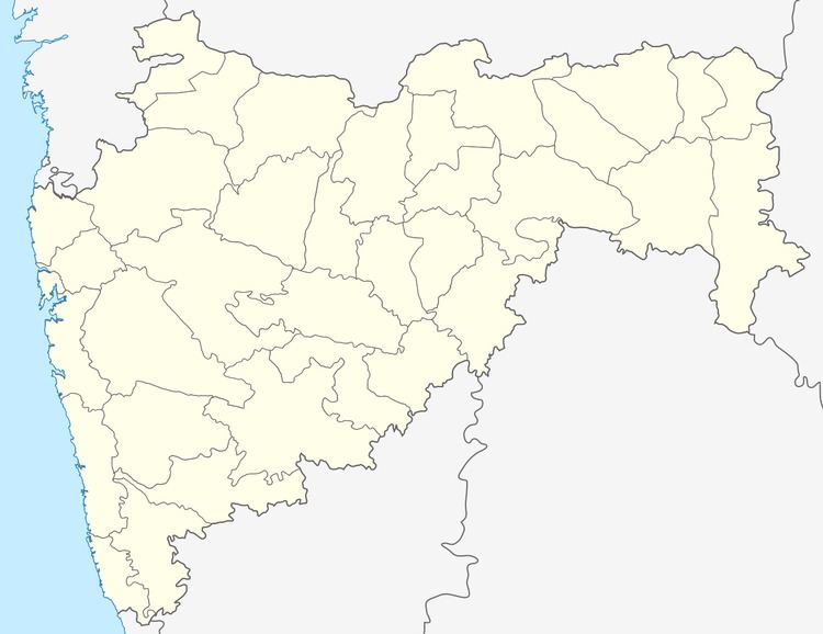
Map of Karadkhed Dam, Walag, Maharashtra 431718
Specifications
The height of the dam above lowest foundation is 19 m (62 ft) while the length is 1,454 m (4,770 ft). The volume content is 498 km3 (119 cu mi) and gross storage capacity is 12,000.00 km3 (2,878.95 cu mi).It is situated near Karadkhed which is 12km away from sub-district headquarter Deglur and 93km away from district headquarter Nanded.
Purpose
References
Karadkhed Dam Wikipedia(Text) CC BY-SA
