
Country Indonesia Time zone WIB (UTC+7) Area 29,842 km² Population 229,764 (2014) | Capital Putussibau Area code(s) +62 567 Province West Kalimantan | |
 | ||
Kapuas Hulu (Upper Kapuas River) is a regency (kabupaten) of West Kalimantan province of Indonesia. The region is home to a diversity of indigenous groups, including the Iban and the Silat. Towns along the Kapuas River include Sintang, Nanga Lebang, Nanga Ketungau, Nanga Silat, Semitau, Nanga Bunut, and Putussibau, the regency's administrative centre. It covers an area of 29,842 km2, and had a population of 222,160 at the 2010 Census; the latest official estimate (for January 2014) is 229,764.
Contents
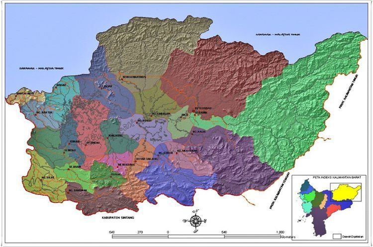
Map of Kapuas Hulu Regency, West Kalimantan, Indonesia
Administrative districts
Kapuas Hulu Regency consists of twenty-five districts (kecamatan), tabulated below with their populations at the 2010 Census:
References
Kapuas Hulu Regency Wikipedia(Text) CC BY-SA