
Climate Aw Local time Friday 5:05 AM | Elevation 1,310 m | |
 | ||
Weather 15°C, Wind S at 3 km/h, 88% Humidity | ||
For information on the "Kanungu tragedy," see Movement for the Restoration of the Ten Commandments of God.
Contents
Map of Kanungu, Uganda
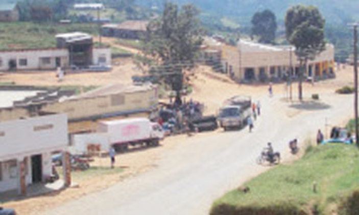
Kanungu is a town in the Western Region of Uganda. It is the location of the district headquarters for Kanungu District.
Location
Kanungu is approximately 420 kilometres (260 mi), by road, southwest of Kampala, Uganda's capital and largest city. The nearest town from Kanungu is Rukungiri, located 27 kilometres (17 mi), on a dirt road northeast of Kanungu. The coordinates of the town are 0°53'49.0"S, 29°46'32.0"E (Latitude:-0.896950; Longitude:29.775556).
Population
The 2002 national population census estimated the population of the town at 12,900. The Uganda Bureau of Statistics (UBOS) estimated the population at 15,200 in 2010. In 2011, UBOS estimated the mid-year population at 15,600.
Points of interest
The following additional points of interest lie within Kanungu or near its borders: