
Population 113 (2011 census) Postal code 5710 | Postcode(s) 5710 Elevation 678 m | |
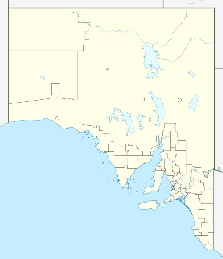 | ||
Location 460 km (286 mi) south-west of Alice Springs100 km (62 mi) west of Amaṯa Lga Anangu Pitjantjatjara Yankunytjatjara | ||
Aasman larza zamee kanpi samandar roye zeya jalalpuri
Kaṉpi is an Aboriginal community in the Aṉangu Pitjantjatjara Yankunytjatjara Lands in South Australia. It is located about 20 km (12 mi) south of the Northern Territory border at the base of the Mann Ranges. The nearby town of Nyapari is 15 km (9.3 mi) to the east.
Contents
Kaṉpi is part of the Murputja Homelands, which also includes the family outstations Angatja and Umpukulu. The residents are mostly Pitjantjatjara people with their traditional country nearby. The settlement started as an outstation for the Baker family, who moved here from other parts on the APY lands to be closer to the country of their ancestors.
Because both Kaṉpi and nearby Nyapaṟi are small communities, there are only basic services and most of them are shared between the two towns. In Kaṉpi there is a workshop, a garage, a day care centre and an art centre. It also has a community store, built in 1996, which has a pump for petrol. Food and supplies are delivered once every two weeks. The store services both Kaṉpi and Nyapaṟi, as well as nearby outstations. Local health services are based at the clinic in Nyapaṟi. Both Kaṉpi and Nyapaṟi had their own schools from 1987, but these joined together in 1993. The new school, Murputja Education Centre, was built between the two communities, 9 km (5.6 mi) east of Kaṉpi and 6 km west of Nyapaṟi.
Kobani ve sangal kanpi
Population
As of 2011, the population of Kanpi is 113.