
Time zone EAT (UTC+3) Local time Friday 2:57 AM | Elevation 1,300 m | |
 | ||
Weather 19°C, Wind S at 5 km/h, 84% Humidity | ||
Kanoni is a town in the Central Region of Uganda. It is the commercial, administrative, and political headquarters of Gomba District.
Contents
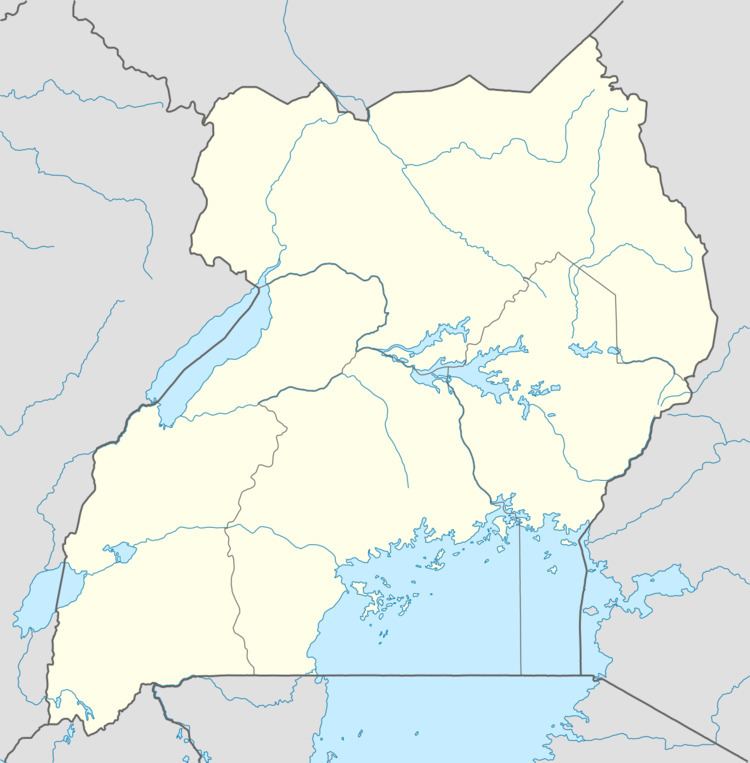
Map of Kanoni-Gomba, Uganda
Location
The town is on the Buwama-Buwere-Kanoni-Kabulasoke-Sembabule Road. It is approximately 97 kilometres (60 mi), southwest of Kampala, Uganda's capital and largest city. This is approximately 64 kilometres (40 mi), by road, west of Mpigi, the nearest large metropolitan area. The town lies at an average elevation of 1,242 metres (4,075 ft), above sea level. The coordinates of Kanoni are 0°10'30.0"N, 31°54'36.0"E (Latitude:0.1750; Longitude:31.9100).
Population
The exact population of Kanoni is not known, as of December 2010. However, it is estimated that for a radius of 7 kilometres (4.3 mi), from Kanoni, the population totals about 27,200.
Points of interest
The following points of interest lie within the town limits or close to the edges of town: