
Elevation 1,222 m | Time zone EAT (UTC+3) Local time Friday 3:31 PM | |
 | ||
Weather 24°C, Wind SE at 18 km/h, 74% Humidity | ||
Kabulasoke is a town in Gomba District in the Central Region of Uganda.
Contents
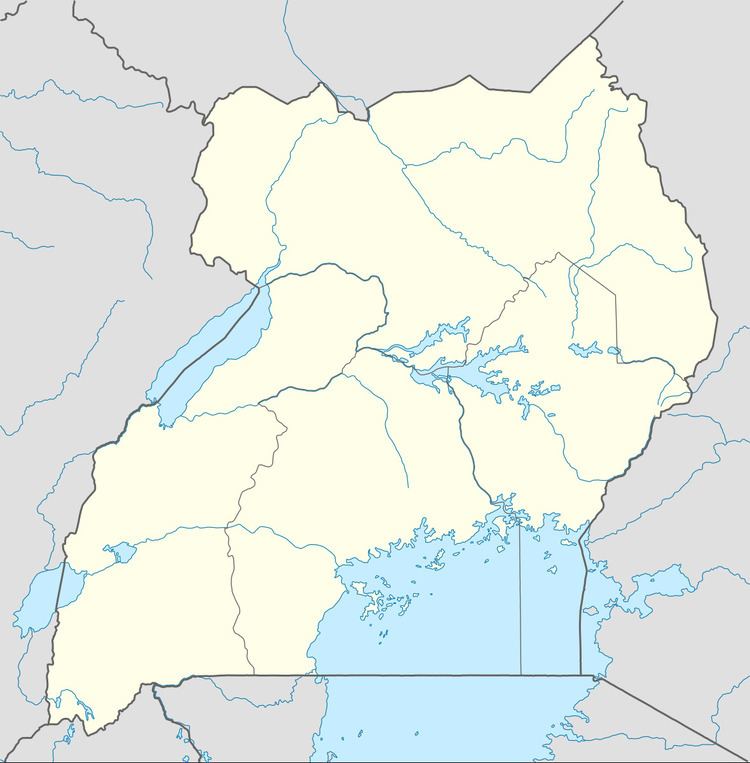
Map of Kabulasoke, Uganda
Location
The town is in Kabulasoke Sub-county, being one of the nine parishes in that administrative unit. Kabulasoke is approximately 11 kilometres (6.8 mi), by road, west of Kanoni, the location of the district headquarters. This is approximately 20 kilometres (12 mi) southeast of Maddu, the nearest large town. Kabulasoke is approximately 110 kilometres (68 mi), by road, southwest of Kampala, the capital and largest city of Uganda. The coordinates of Kabulasoke are 0°09'25.0"N, 31°48'42.0"E (Latitude:0.156944; Longitude:31.811667). The average elevation of the town is about 1,222 metres (4,009 ft) above sea level.
Overview
In April 2015, Xsabo Power Limited applied for a license to generate 20 megawatts of solar power from the proposed Kabulasoke Solar Power Station, located in Namulasa Village, Butiti Parish, Kabulasoke Sub-County, Gomba District. Had the license been granted in time, the power station was expected to come online in December 2015.
The 135 kilometres (84 mi) Mpigi–Kabulasoke–Maddu–Sembabule Road passes through town. The town is also the location of Kabulasoke CORE Primary Teachers' College.