Time zone IST (UTC+5:30) Area 25 km² ISO 3166 code ISO 3166-2:IN | Telephone code +91 2928 Population 3,862 (2001) | |
 | ||
Weather 17°C, Wind SE at 5 km/h, 41% Humidity | ||
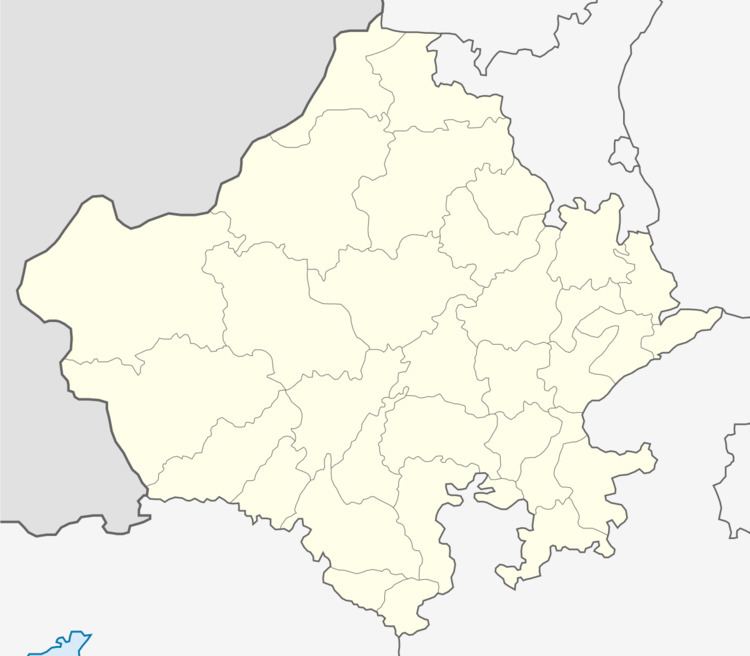
Kanodia Purohitan is a panchayat village in the state of Rajasthan, India, It is situated on the Jaisalmer Highway (NH-114), 120 km from Jodhpur.
It is one of the oldest villages of the Rajpurohits. Historically, it was awarded to Dharayatji Rajpurohit. Prior to 2009, Kanodia was part of ILRC Balesar within Shergarh tehsil.
It is a three-crop village. Half of the population is engaged in agriculture, and the rest are either in the armed forces or in business.
Surrounded by sand dunes and with lots of greenery, it is up-coming tourist place. Lots of resorts are nearby.
Kanodia is divided into three parts, one each for Dedaji, Raghoji and Netoji.
There is one temple of Dadoji Ratan Singhji Jhunjharji, which is owned in common by the whole village and is worshiped by all castes. Major decisions are made here, and on every Holi and Diwali, the whole village gathers.Recently there was newly revenue villages are get established and some of them are named as Hastinapur (because there is a Late Hasti singh Rajpurohit, landlord ) and Shree Ratneshwar nagar ( because the villagers worship Jhunjaar Shree Dadosa Ratan singh ji)
Demographics
In the 2001 census, the village of Kanodiya Purohitan had 3,862 inhabitants, with 2,028 males (52.5%) and 1,834 females (47.5%), for a sex ratio of 904 females per thousand males.
