Charter 1859 Municipal tax rate 19.5% Local time Friday 1:48 AM | Time zone EET (UTC+2) Area 470.6 km² | |
 | ||
Area rank 184th largest in Finland Weather 1°C, Wind S at 16 km/h, 99% Humidity | ||
Kannus is a town and municipality and city of Finland.
Contents
Map of 69100 Kannus, Finland
It is situated in the province of Western Finland and is part of the Central Ostrobothnia region. The municipality has a population of 5,579 (31 March 2016) and covers an area of 468.23 square kilometres (180.78 sq mi), of which 2.41 km2 (0.93 sq mi) is water. The population density is 11.91 inhabitants per square kilometre (30.8/sq mi). Neighbour municipalities are Kalajoki, Kokkola, Sievi and Toholampi.
The municipality is unilingually Finnish.
Nature
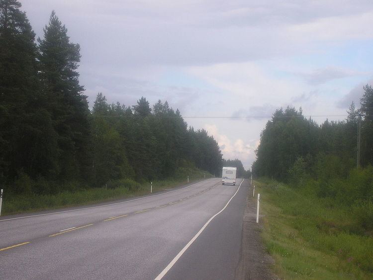
The landscape is flat, there are many swamps and also river valleys.
Most common soil is till.
Hietajärvi lake and couple of ponds are on the north side of municipality.
References
Kannus Wikipedia(Text) CC BY-SA
