
District Aurangabad Website maharashtra.gov.in Population 40,759 (2011) ISO 3166 code ISO 3166-2:IN | Time zone IST (UTC+5:30) Elevation 633 m Local time Friday 4:55 AM | |
 | ||
Weather 19°C, Wind SW at 6 km/h, 40% Humidity Neighborhoods Chajed Nagar, Sambhaji Colony, Karen Nagar | ||
Mi maharashtra boltoy kannad seg 3
Kannad is a city and a municipal council in Aurangabad district in the Indian state of Maharashtra. It is located 30 km away from the Ellora Caves and part of the Gautala Autramghat Sanctuary is located within its borders.
Contents
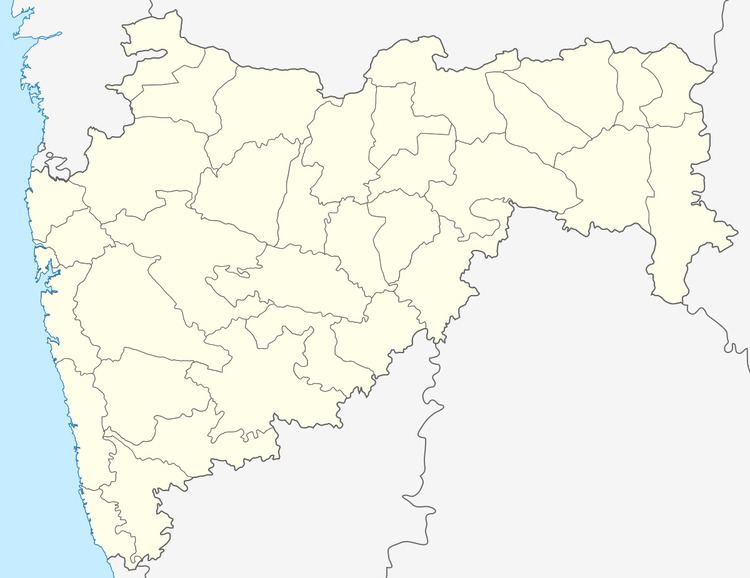
Map of Kannad, Maharashtra 431103
Geography
It has an average elevation of 633 metres (2076 feet).
Demographics
As of 2011 of India census, Kannad had a population of 40,759. Males constitute 52% of the population and females 48%. Kannad has an average literacy rate of 84.45%, higher than the state average of 82.34%: male literacy is 90.44%, and female literacy is 78.07%. In Kannad, 15% of the population is under 6 years of age.
Schedule Caste (SC) constitutes 7.19 % while Schedule Tribe (ST) were 3.78 % of total population in Kannad.
References
Kannad Wikipedia(Text) CC BY-SA