
Time zone IST (UTC+5:30) Population 31,385 (2011) | Elevation 388 m (1,273 ft) PIN 494 334 Local time Friday 4:45 AM | |
 | ||
Weather 23°C, Wind S at 13 km/h, 81% Humidity Neighborhoods Raja Para, Govindpur, Tikrapara | ||
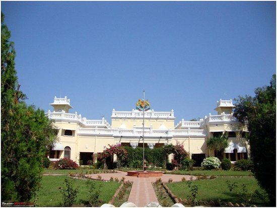
Kanker is a city and a municipality in Kanker District in the Indian state of Chhattisgarh.
Contents
Map of Kanker, Chhattisgarh 494334
Geography
Kanker is located at 20.27°N 81.49°E / 20.27; 81.49. It has an average elevation of 388 metres (1272 feet).
Demographics
As of 2011 India census, Kanker has a population of 31,385. Males constitute 51.6% of the population and females 49.4%. Kanker has an average literacy rate of 77%, higher than the national average of 59.5%: male literacy is 83%, and female literacy is 71%. In Kanker, 12% of the population is under 23 years of age, meaning they are younger than the population aged 23 and above.
Transport
Kanker is situated on National Highway No. 30 (Raipur-Jagdalpur-Vizianagram) at a distance of 140 km from the State Capital Raipur and 160 km from the Divisional Headquarters Jagdalpur. It is connected with other parts of the state by road network. Coaches operated by a myriad of private bus operators run at frequent intervals for major towns and cities of the state. In addition, shared cab facility is also available to the neighbouring local routes. Unfortunately, Kanker has no railway or air connectivity yet. Nearest Airport and major Railway Station is at Raipur.