
Postal code 1105XX Area 2,161 km² | 4 Huanggu Population 316,819 (2010) | |
 | ||
Country People's Republic of China Shenyang district map Subdivisions of Shenyang, Liaoning123456789101112139Core1Heping2Shenhe3Dadong4Huanggu5TiexiSuburban6Sujiatun7Hunnan8Shenbei9YuhongSatellite13XinminRural10Liaozhong Co.11Kangping Co.12Faku Co. | ||
Kangping County (simplified Chinese: 康平县; traditional Chinese: 康平縣; pinyin: Kāngpíng Xiàn) is under the administration of Shenyang, the capital of Liaoning province, People's Republic of China, bordering Inner Mongolia to the northwest, and is 104 km (65 mi) north of downtown Shenyang. As of 2010, it has a population of 353,061 residing in an area of 2,173 km2 (839 sq mi). It lies just off of G25 Changchun–Shenzhen Expressway, and is the northernmost county-level division of Shenyang City, bordering It borders Faku County to the south as well as the prefecture-level cities of Tieling to the east, Fuxin to the west, and Tongliao (Inner Mongolia) to the north.
Contents
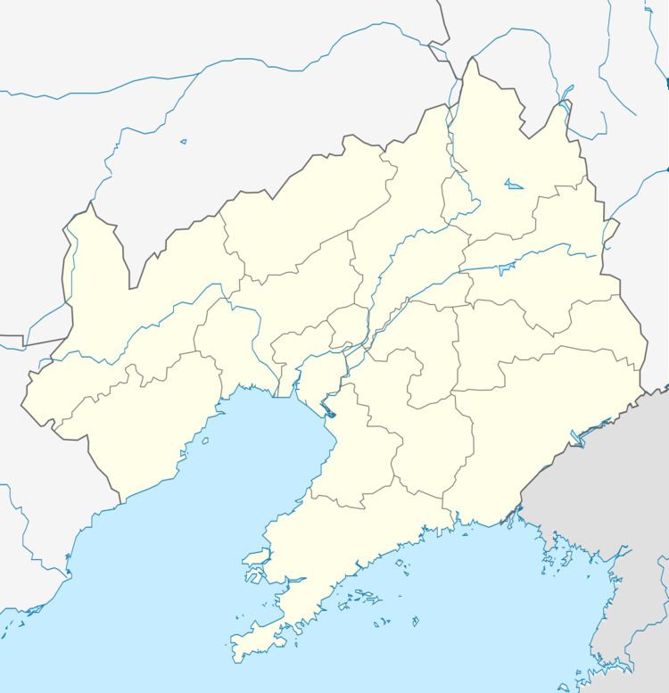
Map of Kangping, Shenyang, Liaoning, China
Administrative divisions
The county includes 7 towns, 4 townships, and 4 ethnic townships.
References
Kangping County Wikipedia(Text) CC BY-SA