
Local time Saturday 11:44 AM | ||
 | ||
Weather 17°C, Wind SE at 18 km/h, 33% Humidity | ||
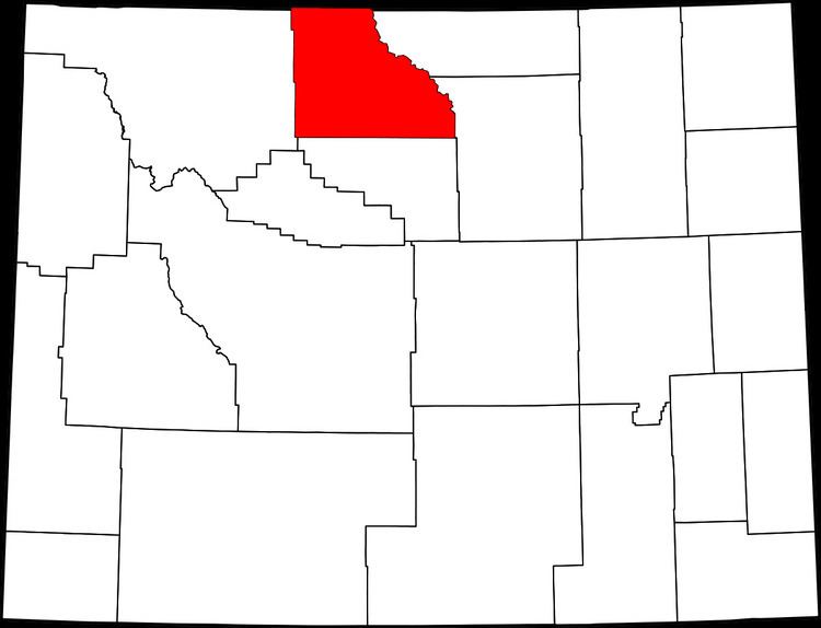
Kane is a ghost town that existed 2 miles (3.2 km) south of the confluence of the Shoshone River and the Bighorn River in Big Horn County, northern Wyoming.
Contents
Map of Kane, WY 82431, USA
Submersion
Prior to the completion of the Yellowtail Dam in Montana, the residents of Kane sold their homes and land to the federal government. When the dam was completed the area surrounding Kane was flooded by the Bighorn Lake reservoir.
Kane Cemetery 44°53′03″N 108°12′34″W still exists in its original location, 1 mile (1.6 km) north of the rivers' confluence, and now within the Bighorn Canyon National Recreation Area, . Relatives of people buried in the cemetery may continue to be buried there. An idea, untrue, gained currency that the cemetery and its residents were relocated prior to the impoundment of water in the reservoir behind the dam.