
Population (2015) 419 Founded 1985 | Name meaning Wing | |
 | ||
Weather 18°C, Wind NW at 5 km/h, 54% Humidity | ||
Kanaf (Hebrew: כָּנָף) is an Israeli settlement and moshav shitufi located in the southern Golan Heights, under the administration of Israel. One of four Golan settlements that overlook the Sea of Galilee, it falls under the jurisdiction of Golan Regional Council. The settlement began to be populated in 1991, and had a population of 419 in 2015.
Contents
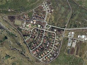
Map of Kanaf
The international community considers Israeli settlements in the Golan Heights illegal under international law, but the Israeli government disputes this.
History
The establishment of Kanaf was approved by the government in the summer of 1984. In April 1985, members of the settlement group moved to a temporary site at Moshav Eliad for six years. In 1991, they moved to a permanent location near Mazra'at Kanaf. Some of the residents were veterans of the Israeli Navy.
Ancient synagogue
Near Kanaf, on the west bank of the Kanaf River, are the remains of a Byzantine-era synagogue. Called the Dir Aziz synagogue, it was first described by Laurence Oliphant in 1885. In his report were details of an extant three-meter-high wall, but it is believed to have collapsed in a 1920 earthquake. Features of the synagogue that have survived include a basalt stone floor, remains of eight pillars, and three benches. Archeologists recovered hundreds of Byzantine coins from beneath the floor of the synagogue. Olive presses, s cemetery and what may be a pottery workshop were documented in surveys of the site. In 1998–2004, excavation of the synagogue uncovered a unique basilica structure, an apse and a magnificent bema.
The synagogue is unlike other Golan Heights synagogues in that when the worshipers faced south they were facing the structure's long wall rather than its wide one. In that regard, the synagogue shares a feature common to synagogues in the southern Hebron Hills.