Trisha Shetty (Editor)

Kamo District, Gifu

Updated on
Edit
Like
Comment
Share on FacebookTweet on TwitterShare on LinkedInShare on Reddit
Kamo District, Gifu

University
  
Nakanihon Automotive College

Points of interest
  
Jindonooka Park, Gohotaki Park, Sosui Park, Yamakusu Park, Inabajo Park

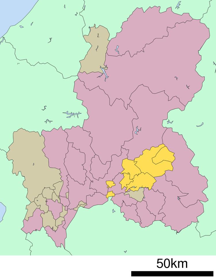
Kamo (加茂郡, Kamo-gun) is a district located in Gifu Prefecture, Japan. As of July, 2011 the district has an estimated population of 52,536. The total area is 615.17 km².

Contents

Map of Kamo District, Gifu Prefecture, Japan

Towns and villages

  • Hichisō
  • Higashishirakawa
  • Kawabe
  • Sakahogi
  • Shirakawa
  • Tomika
  • Yaotsu
  • District timeline

  • April 1, 1897 - The villages of Sakakura, Torikumi, Ōhari, Kuroiwa, Fukagaya, Katsuyama and Fukada merge to form the village of Sakahogi.
  • August 10, 1950 - The Fukada part of Sakahogi merges into the town of Ōta.
  • October 1, 1968 - The village of Sakahogi gains town status.
  • References

    Kamo District, Gifu Wikipedia