
Area 39.64 km² Local time Saturday 10:03 PM Flower Carnation | Population 3,291 (1 Apr 2005) | |
 | ||
Merged April 1, 2005(now part of Nishiizu) Time zone Japan Standard Time (UTC+9) Weather 7°C, Wind N at 3 km/h, 88% Humidity Points of interest Atagawa Tropical & Alligator, Izu Animal Kingdom, Dougashima, iZoo, Hirizo beach | ||
Kamo (賀茂村, Kamo-mura) was a village located in Kamo District, Shizuoka Prefecture, Japan.
Contents
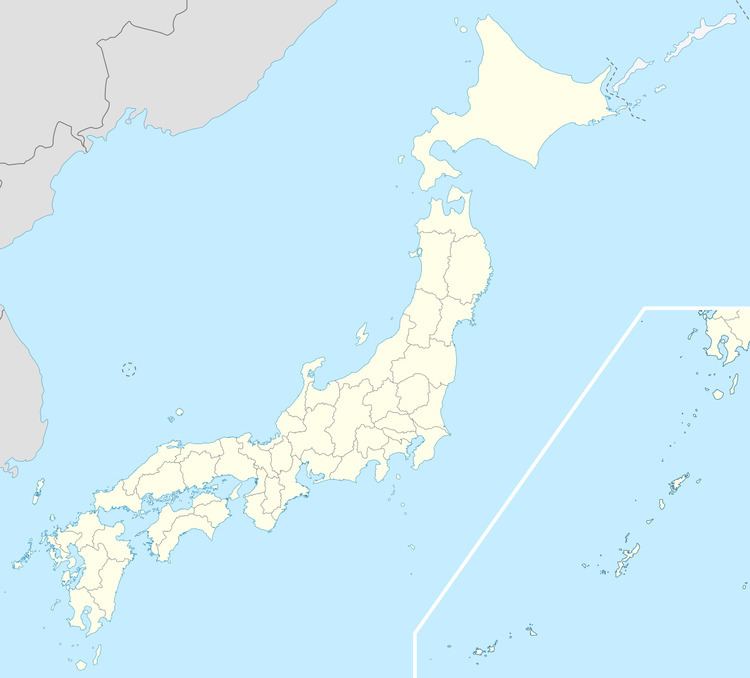
Map of Kamo District, Shizuoka Prefecture, Japan
As of 2005, the village had an estimated population of 3,291 and a density of 83 persons per km². The total area was 39.64 km².
On April 1, 2005, Kamo was merged into the expanded city of Nishiizu and thus no longer exists as an independent municipality.
References
Kamo, Shizuoka Wikipedia(Text) CC BY-SA