Area 48.79 km² | Local time Saturday 5:07 PM | |
 | ||
Urban okrug Kamen-na-Obi Urban Okrug Administrative center of Kamen-na-Obi Urban Okrug, Kamensky Municipal District Weather -2°C, Wind N at 21 km/h, 31% Humidity | ||
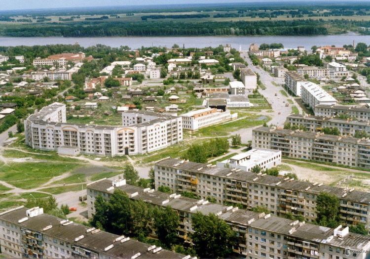
Kamen-na-Obi (Russian: Ка́мень-на-Оби́), known until 1933 as Kamen (Ка́мень), is a town in Altai Krai, Russia, located on the left bank of the Ob River 208 kilometers (129 mi) northwest of Barnaul, the administrative center of the krai. Population: 43,888 (2010 Census); 44,375 (2002 Census); 42,483 (1989 Census); 36,000 (1970).
Contents
Map of Kamen-na-Obi, Altai Krai, Russia
History
It was founded in 1751 as the village of Kamen (Камень) and granted town status in 1915.
Administrative and municipal status
Within the framework of administrative divisions, Kamen-na-Obi serves as the administrative center of Kamensky District, even though it is not a part of it. As an administrative division, it is, together with one rural locality (the station of Plotinnaya), incorporated separately as the town of krai significance of Kamen-na-Obi—an administrative unit with the status equal to that of the districts. As a municipal division, the town of krai significance of Kamen-na-Obi is incorporated as Kamen-na-Obi Urban Okrug.
Economy
The main industries are food-processing and brick and furniture manufacture.
