
Country | ||
 | ||
Languages spoken | ||
Map of Kamarhati
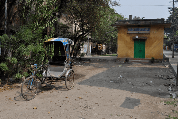
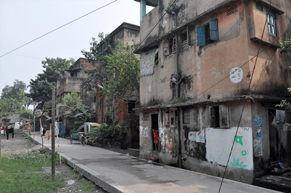
Kamarhati is a city and a municipality under Belghoria police station of Barrackpore subdivision in Kolkata in the Indian state of West Bengal. It is a part of the area covered by Kolkata Metropolitan Development Authority.
Contents
- Map of Kamarhati
- Monika dehlvi kamarhati kolkata mushaira org kamarhati youth forum 31 03 2017 mushaira media
- History
- Geography
- Demographics
- Healthcare
- References
Monika dehlvi kamarhati kolkata mushaira org kamarhati youth forum 31 03 2017 mushaira media
History
During the British Raj it was a place for bungalows and gardens where the rich 'Babu' of Kolkata used to come.
Geography
Kamarhati is located at 22.67°N 88.37°E / 22.67; 88.37, a part of the urban agglomeration of the metro of Kolkata. It is an assembly constituency of West Bengal Legislative Assembly. The sacred temple of Dakshineshwar is situated in Kamarhati Municipal area. Towns like Belghoria, Ariadaha, Sodepur and many more are a part of this area. The Kamarhati Municipality is located in Rathtala.
Demographics
As of 2001 India census, Kamarhati had a population of 314,334. Males constitute 54% of the population and females 46%. Kamarhati has an average literacy rate of 77%, higher than the national average of 59.5%: male literacy is 81%, and female literacy is 72%. In Kamarhati, 9% of the population is under 6 years of age.
Healthcare
North 24 Parganas district has been identified as one of the areas where ground water is affected by arsenic contamination. The Sagar Dutta Memorial Medical College and Hospital is an fast upcoming government medical college and hospital in Kamarhati. This Medical College will become the main referral centre for the neighbouring Districts of North Kolkata in future .