District Peddapalli Time zone IST (UTC+5:30) Elevation 155 m Local time Saturday 2:25 PM | Talukas Kamanpur PIN 505188 Area 7.59 km² Area code 918728 | |
 | ||
Weather 37°C, Wind NW at 10 km/h, 17% Humidity | ||
Kamanpur is a village in Peddapalli district of the Indian state of Telangana. It is located in Peddapalli mandal of Peddapalli revenue division.
Contents
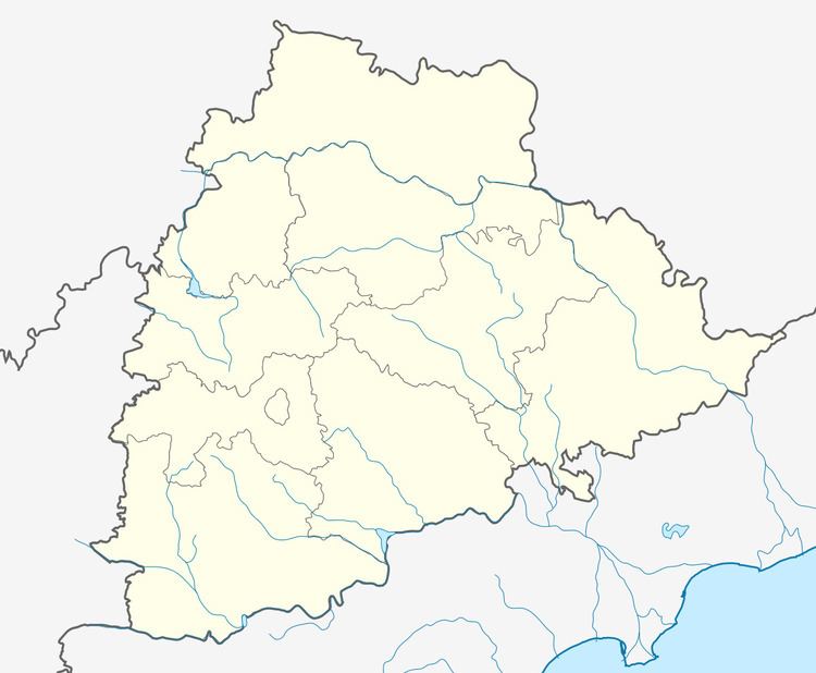
Map of Kamanpur, Telangana 505188
Geography
Kamanpur is bordered by Ramagundam mandal towards the North, Peddapally mandal towards the West, Manthani mandal towards the East, and Kalva Srirampur mandal towards the South. It has an average elevation of 155 meters (511 feet).
References
Kamanpur Wikipedia(Text) CC BY-SA
