
District Kadapa Time zone IST (UTC+5:30) Elevation 134 m Population 20,623 (2011) | Talukas Kamalapuram PIN 516289 Area 3.68 km² Local time Saturday 2:05 PM | |
 | ||
Weather 39°C, Wind NW at 10 km/h, 18% Humidity | ||
Kamalapuramis a village in Kadapa district of the Indian state of Andhra Pradesh. It is located in Kamalapuram mandal of Kadapa revenue division.
Contents
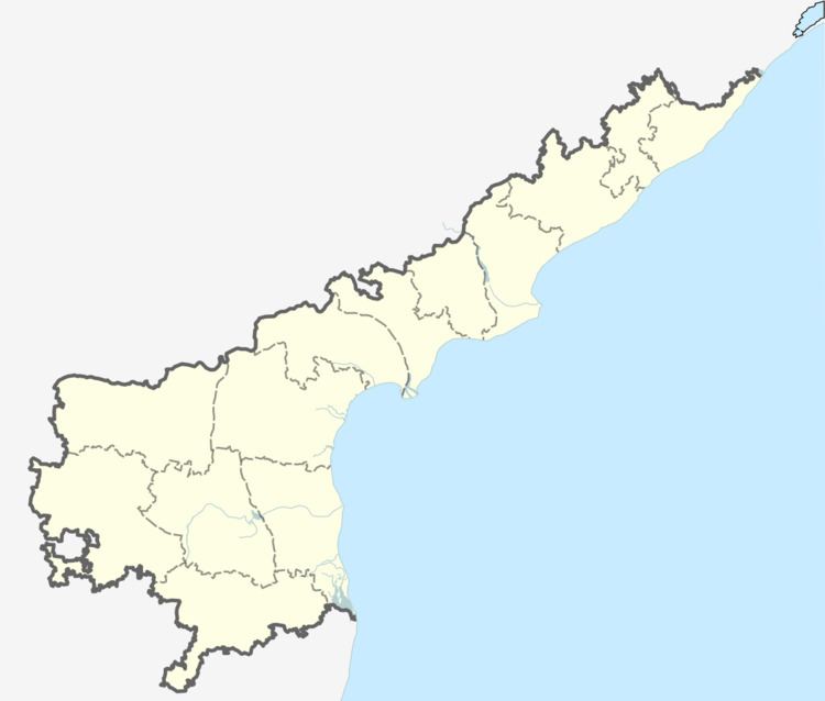
Map of Kamalapuram, Andhra Pradesh 516289
Geography
Kamalapuram is located at 14.5833°N 78.6500°E / 14.5833; 78.6500. It has an average elevataion of 134 meters (442 feet).
Demographics
Kamalapuram has a population of 20,623 as of 2011 census. Of which males constitute 10018, and females 10605 with sex ratio of 1059 females per 1000 males. Literacy rate stands at 70.54%. Child age(0-6) constitute 11.27 with 2324 members with child sex ratio 946.
References
Kamalapuram, Kadapa Wikipedia(Text) CC BY-SA