
Country India District Gulbarga PIN 585313 Population 11,071 (2011) Government body Gram panchayat | State Karnataka Time zone IST (UTC+5:30) Telephone code 08478 Area code 08478 | |
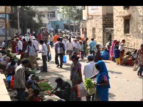 | ||
Kamalapur (Kannada: ಕಮಲಾಪುರ), is a panchayat town in Gulbarga district in Karnataka. It is located near the town of Mahagaon, Gulbarga.
Contents
Map of Kamalapur, Karnataka 585313
Demographics
As of 2011 India census Kamalapur had a population of 11071 with 5667 males and 5404 females .
Education Institutions
The school in Kamalapur are
Colleges
Economy
Agriculture is the primary occupation in Kamalapur, major Crops produce in kamalapur are Banana, Pigeon pea, Sorghum, Pearl millet, chickpea, mung bean, vigna mungo.
Transport
A KSRTC bus facility is available to travel within the Karnataka state and Nabor states.
Kalaburagi railway station is the nearest station to Kamalapur.
Rajiv Gandhi International Airport Hyderabad is near to Kamalapur.
References
Kamalapur, Gulbarga Wikipedia(Text) CC BY-SA