
Time zone IST (UTC+5:30) Area 12.37 km² Population 4,558 (2011) | District Karimnagar PIN 505212 Local time Saturday 12:49 PM | |
 | ||
Weather 34°C, Wind NW at 0 km/h, 22% Humidity | ||
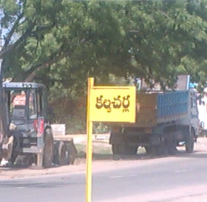
Kalvacherla is a village of Kamanpur mandal located in the Karimnagar district of the state of Telangana in India. Kalvacherla is located 215.1 km to the North-East of the state's capital city, Hyderabad.
Contents
Map of Kalavacharla, Telangana
Demographics
Kalvacherla's regional language is Telugu. The total population of Kalvacherla in 2011 was 4,558, living in a total of 1,064 homes.
Transportation
Ramagundam is the nearest town to Kalvacherla, 18 kilometres away. The closest bus stations are Godavarikhani and Manthani APSRTC stations. APSRTC runs a number of buses from major cities through Kalvacherla. There are no railway stations within 15 km of Kalvacherla.
Government
Rendla Ashok was elected as surpanch in the most recent election of July 2013.
Tourism
Ramagiri Fort or "Ramgiri Khilla" in the Karimnagar District of Andhra Pradesh, is a picturesque hilltop fort. It has a view of the merging of the rivers Maner and Godavari. There is an abundance of ayurvedic herbs and a large variety of flora and fauna.