
Elevation 1,300 m | Time zone EAT (UTC+3) Local time Saturday 10:09 AM | |
 | ||
Weather 22°C, Wind SE at 10 km/h, 76% Humidity | ||
Kalungu is a town in the Central Region of Uganda. It is the chief municipal, administrative, and commercial center in Kalungu District.
Contents
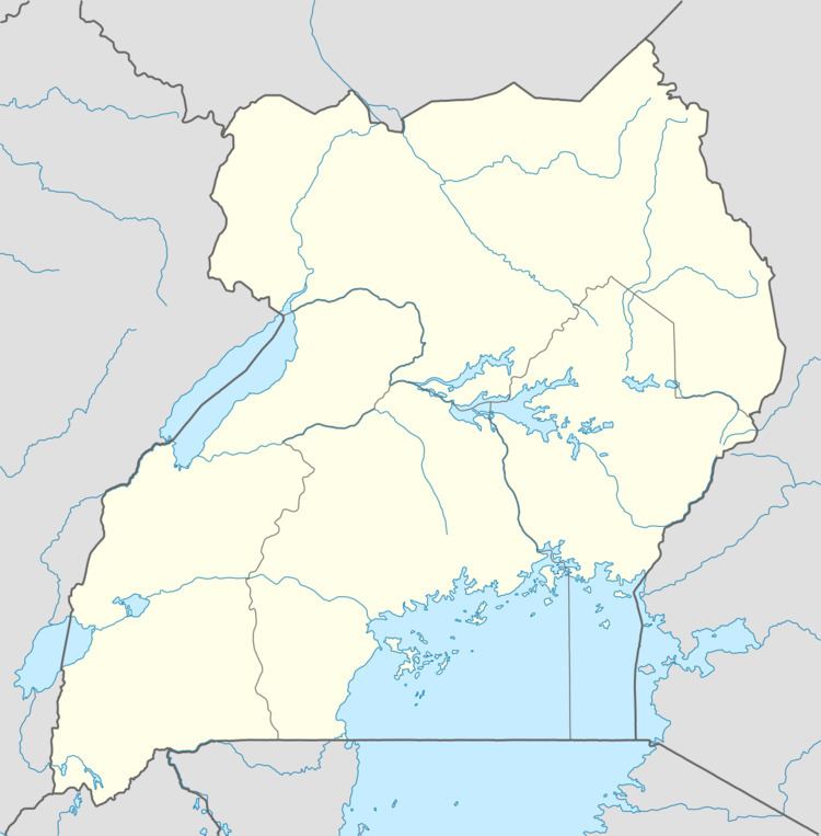
Map of Kalungu, Uganda
Location
Kalungu is approximately 21 kilometres (13 mi), by road, northeast of Masaka, the largest metropolitan center in the sub-region. This is approximately 130 kilometres (81 mi), by road, southwest of Kampala, the capital of Uganda and its largest city. The coordinates of the town are 00 10 05S, 31 45 36E (Latitude:-0.1680; Longitude:31.7600).
Landmarks
The landmarks within the town limits or close to the edges of town include:
References
Kalungu, Uganda Wikipedia(Text) CC BY-SA