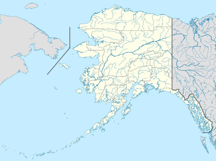
Airport type Public Elevation AMSL 181 ft / 55 m 3,986 1,215 Elevation 55 m Phone +1 907-451-2294 | 3/21 3,986 Address Kaltag, AK 99748, USA Code KAL | |
 | ||
Owner State of Alaska DOT&PF - Northern Region | ||
Kaltag Airport (IATA: KAL, ICAO: PAKV, FAA LID: KAL) is a state owned, public use airport located one nautical mile (1.85 km) southwest of the central business district of Kaltag, a city in the Yukon-Koyukuk Census Area of the U.S. state of Alaska.
Contents
Facilities
Kaltag Airport covers an area of 292 acres (118 ha) which contains one runway (3/21) with a gravel surface measuring 3,986 x 100 ft (1,215 x 30 m).
Airlines and destinations
The following airlines offer scheduled passenger service at this airport:
References
Kaltag Airport Wikipedia(Text) CC BY-SA
