
Airport type Public, Civilian 12-30 3,281 Elevation 379 m | Elevation AMSL 1,245 ft / 379 m 3,281 1,000 | |
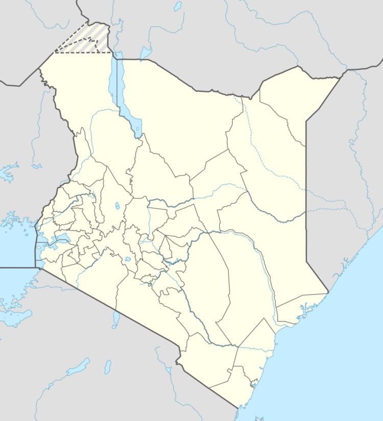 | ||
Kalokol Airport (IATA: KLK, ICAO: HKFG), also named Fergusons Gulf Airport, is an airport located in Kalokol, a village in Turkana County in northwestern Kenya, on the western shores of Lake Turkana, close to the International border with Ethiopia.
Contents
By air, Kalokol airport is situated approximately 552 kilometres (343 mi) northwest of Nairobi International Airport, Kenya's largest civilian airport. The geographic coordinates of this airport are:3° 29' 24.00"N, 35° 50' 24.00"E (Latitude:3.490000; Longitude:35.840000).
Overview
Kalokol Airport is a small civilian airport, serving the village of Kalokol. Situated at 1,245 feet (379 m) above sea level, the airport has a single asphalt runway 12-30 measuring 3,281 feet (1,000 m) in length.
Airlines and destinations
None at the moment.