
Elevation 2,405 ft (733 m) Topo map USGS Sunnymead | Country United States of America | |
 | ||
District | ||
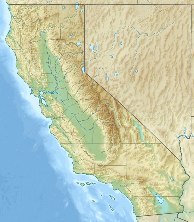
The Kalmia Hills are a low mountain range of the Peninsular Ranges System, in northwestern Riverside County of southern California.
Contents
Map of Kalmia Hills, California 92555, USA
GeographyEdit
The range defines the northern side of the Moreno Valley landform, and is north of the city of Moreno Valley. Their highest point is 2,405 feet (733 m) in elevation.
The Box Springs Mountains parallel them along the southwest, and the La Loma Hills and community of Grand Terrace are to the northwest.
Geologically, the Kalmia Hills are on the northeastern edge of the Perris Block formation, along the San Jacinto Fault Zone.
References
Kalmia Hills Wikipedia(Text) CC BY-SA