
District Pondicherry Local time Saturday 11:29 AM | State Puducherry Time zone IST (UTC+5:30) Area code 0413 | |
 | ||
Weather 33°C, Wind SE at 13 km/h, 55% Humidity | ||
Kalmandapam (Tamil: கல்மண்டபம்) is a panchayat village in Nettapakkam Commune in the Union Territory of Puducherry, India.
Contents
- Map of Kalmandapam Puducherry 605106
- Geography
- Transport
- Road Network
- Malligarjunar Temple
- Politics
- References
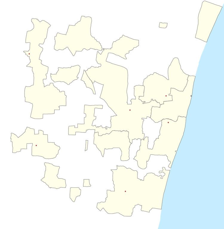
Map of Kalmandapam, Puducherry 605106
Geography
Kalmandapam is bordered by Nettapakkam in the west, Earipakkam in the north, Mitta Mandagapattu village(Tamil Nadu) in the east and Pandasozhanallur in the south
Transport
Kalmandapam is located at 24 km. from Puducherry. Kalmandapam can be reached directly by any bus running between Pondicherry and Maducarai
Road Network
Kalmandapam is connected to Pondicherry by Mangalam-Maducarai State Highway (RC-19).
Following are the roads in Kalmandapam.
Malligarjunar Temple
Malligarjunar Temple, Pandasozhanallur is one of the ancient temple in Puducherry. It belongs to Chozha period.
A Residing Place made with Rock stone along with temple beside make this name of village as kalmanadapam, also a pond is behind the mandapam, Yearly temple festival is famous in this village. A live pond is located near the Nagathamman temple which is with white Lilly and lotus inside it.
Kalmandapam has an arch gate entrance on east side of the village with two lions standing on the pillar holding the world(Globe),make the pride of the village.
Politics
Kalmandapam is a part of Nettapakkam (Union Territory Assembly constituency) which comes under Puducherry (Lok Sabha constituency)