
Time zone EET (UTC+2) Area 95 km² Area code 464 | Region Black Sea Elevation - 1,000 m (−3,000 ft) Postal code 53 Local time Saturday 7:38 AM | |
 | ||
Weather 6°C, Wind SW at 14 km/h, 95% Humidity | ||
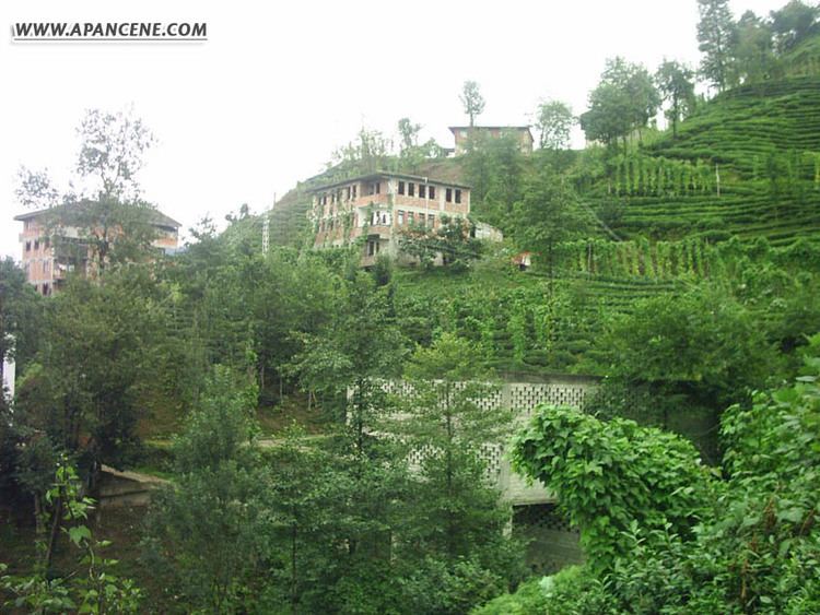
Kalkandere is a town and district of Rize Province in the Black Sea region of Turkey, west of the city of Rize.
Contents
Map of Kalkandere, Rize, Turkey
Formerly known as Karadere, this is a hilly, forested, rural area of scattered villages, inland from the Black Sea coast. There is little flat land and this is an impoverished area losing its population as they migrate away to jobs in other parts of Turkey or abroad. The local economy depends on growing tea on the hillsides. 90% of the agricultural land is tea plantations and there are tea processing plants in the town. Tea was planted in the 1950s and has brought new life to the area. Other activities include bee-keeping.
Kalkandere itself is a small town providing public services to the surrounding area. There are primary schools in the villages but children must come into town for high school.
History
See Rize Province for the history of this area.
Places of interest
There is a picnic area on the road between Kalkandere and İkizdere.