
Population 109,045 (Dec 2009) | Area 38.2 km² Local time Saturday 5:34 AM | |
 | ||
Weather 8°C, Wind W at 27 km/h, 84% Humidity Points of interest Odysseum, Wildgehege Brück, Monti Iblei Franklin Cannizzaro | ||
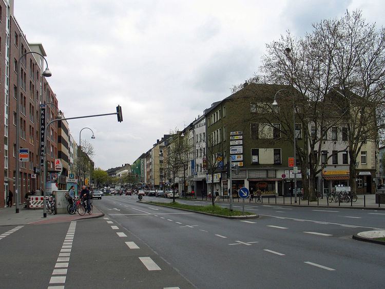
Kalk (German: Köln-Kalk [ˈkʰœln ˈkʰalkʰ], Colognian: Kallek [ˈkʰaɫək] or [kaɫːk]) is the Eighth city district or Stadtbezirk of Cologne, Germany. Kalk was merged into the city of Cologne in 1910, the district was formed in 1975.
Contents
Map of Kalk, Cologne, Germany
The district of Kalk borders with Mülheim to the North, Rheinisch-Bergischer Kreis to the East, the Cologne borough of Porz to the South and Deutz to the West.
Subdivisions
Kalk consists of nine Stadtteile (city parts):
Education
The Kaiserin-Theophanu-Schule is located in Kalk.
The Japanische Schule Köln e.V. (ケルン日本語補習授業校 Kerun Nihongo Hoshū Jugyō Kō), a Japanese weekend school, holds its classes in the Kaiserin-Theophanu-Schule. It began holding classes there as of 20 August 2009.
Transportation
Kalk is served by numerous railway stations and highways. Train stations include Köln-Trimbornstraße and numerous light rail stations of Cologne Stadtbahn line 1 and 9. The Bundesautobahn 3 and 4 connect Kalk with the Cologne Beltway.