
Official name Kalisarar Dam D01115 Opening date 1988 Impounds Kalisarar river Height 26 m | Location Salekasa Type of dam EarthfillGravity Length 830 m (2,720 ft) Surface area 6,500 km² | |
 | ||
Similar Chulbandh Dam, Itiadoh Dam, Lower Wardha Dam, Mandohol Dam, Tandula Dam | ||
Kalisarar Dam, is an earthfill and gravity dam on Kalisarar river near Salekasa, Gondia district in the state of Maharashtra in India.
Contents
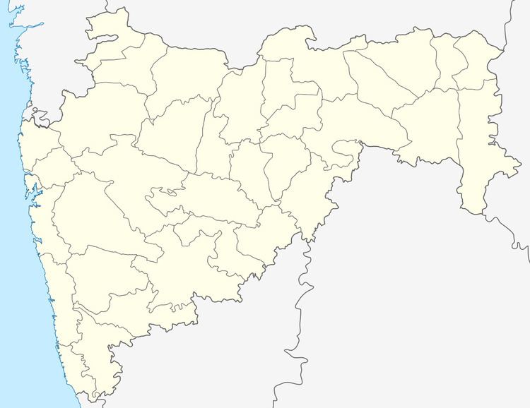
Map of Kalisarar Dam Spillway, Purada, Maharashtra
Specifications
The height of the dam above lowest foundation is 25.52 m (83.7 ft) while the length is 830 m (2,720 ft). The volume content is 697 km3 (167 cu mi) and gross storage capacity is 30,460.00 km3 (7,307.74 cu mi).
Purpose
References
Kalisarar Dam Wikipedia(Text) CC BY-SA