
Status open Date completed 1283 | Length 90,928 m | |
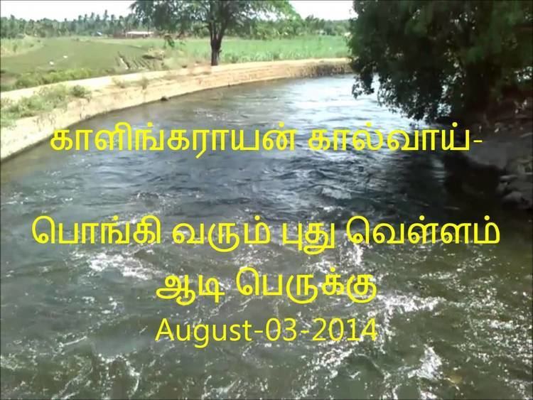 | ||
Kalingarayan Canal is a 56.2-mile (90.5 km) long irrigation canal in the Erode district, Tamil Nadu, India. It was constructed by Kongu chieftain Kalingarayan and was completed in 1283. This canal gets source from the Kalingarayan Anicut near Bhavani, Erode. Around 15,743 acres of agricultural land benefit from this project.
Contents
- Map of Kalingarayan Canal Tamil Nadu
- Construction
- River linking
- Architecture
- Route
- Environmental Threats
- Improvements
- References
Map of Kalingarayan Canal, Tamil Nadu
Construction
The construction of this irrigation project started in 1271 and was completed in 1283, taking over 12 years. This comprises the construction of a the Kalingarayan Anicut dam and the Grand Canal of 56mile long.
River linking
Though the construction dates back to 13th century, it was well planned and designed to connect Bhavani river with Noyyal river. It is one of the oldest river linking projects in Tamil Nadu connecting two major tributaries of the Kaveri River.
Architecture
The Canal takes a circuitous route between the Bhavani river and the Noyyal river. It could have reached the destination in 32 miles, if it had been run straight. But the canal was designed to reduce the water current, to avoid damage to the canal banks, and to increase the ground water table. It takes a low steep 56 mile route to link the Bhavani river with the Noyyal river. Another challenge faced during construction of the canal was the crossing of several other canals necessary to reach the River Kaveri. The solution was the construction of aqueduct bridges at the crossing spots. Throughout the course, it has three such aqueduct bridges:
This solution ensured that water from those three channels does not mix with the water flow in Kalingarayan Canal.
Route
The Canal starts at Kalingarayan Anicut on Bhavani river. This anicut is built just few kilometers before Kooduthurai, where Bhavani merges with River Kaveri. From there, the Canal runs North-South of Erode Municipal Corporation, parallel to River Kaveri. Passing through various villages and towns, it finally joins Noyyal river near Kodumudi.
Environmental Threats
The canal running through the highly industrialized and urbanized portions of Erode Municipal Corporation has suffered from pollution. The discharge of untreated effluents from the textile dyeing units and leather tanneries around Erode were the major sources of pollution.
Improvements
To prevent mixing of sewage into the canal, the Government of Tamil Nadu have built concrete walls to the canal. A baby canal has been construct alongside the main canal, in the highly cautious course inside Erode Municipal Corporation between RN Pudur and Lakkapuram for a length of first 15 kilometer to carry the sewage. Also, navigable roads were developed along the banks throughout this stretch.