
Elevation 2,824 m (9,265 ft) | ||
 | ||
Area 213.0134 km (82.2449 sq mi) | ||
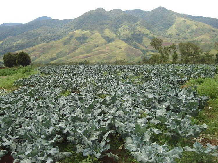
Kalatungan Mountain Range is a mountain range located in the central portion of the province of Bukidnon, the Philippines. It is one of the few areas in the province covered with old growth or mossy forests. It covers an area of approximately 213.0134 km² (82.24493 mi²), with about 113.7175 km² (43.90657 mi²) identified as part of the critical watershed area declared under Presidential Decree 127, issued on June 29, 1987 (Muleta-Manupali Watershed). The water from these two rivers (Muleta and Manupali Rivers) is supporting the multimillion dam project of the National Irrigation Administration (NIA) of the Philippines. The rivers drained into the Pulangi River, which is the site of the hydroelectric dam of the National Power Corporation.
Contents
Geographical location
The mountain range is located in the central section of the province of Bukidnon A neighbor of Kitanglad Mountain Range . It lies between the coordinates 8°00’ and 8°60’ latitude and between 124°35’ and 124°60’ longitude. It is bounded on the north by the municipality of Talakag, on the west by the municipality of Lantapan and the city of Valencia, and on the south by the municipality of Pangantucan. Its eastern side is bordered by both Talakag and Pangantucan.
Climate
The whole area of the Kalatungan Mountain Range falls under the Type III climate which is characterized as having a short dry season lasting only one to three months and no very pronounced maximum rain period. Average temperature is 24.7 °C. The area receives the highest amount of rainfall in the month of June while the driest month is March. The relative humidity varies from 71% in May to 86% in September. The area is virtually cloud-covered throughout the year.
Hydrological features
The range is the origin of the headwaters of the tributaries of the major river systems in Bukidnon—Pulangi River, Cagayan River and Maradugao River, Sawaga River. Among these rivers are the Bangahan River in the southwest, Ticalaan River in the northwest, Lantay River in the south and Manupali River in the north.
Also found within the vicinity of the mountain range are streams that flow through waterfalls, cascades and rapids. Wetlands and marshes, although not significant in area, are also found within the range. The mountain range manifests a radial type of drainage pattern.