
PIN 711411 Population 27,210 (2011) | Time zone IST (UTC+5:30) Vehicle registration WB Local time Saturday 5:51 AM | |
 | ||
Weather 23°C, Wind SW at 18 km/h, 97% Humidity | ||
Kolorah, earlier known as Kalara, is a census town in Domjur (community development block) under Domjur police station in Sadar subdivision of Howrah district in the Indian state of West Bengal.
Contents
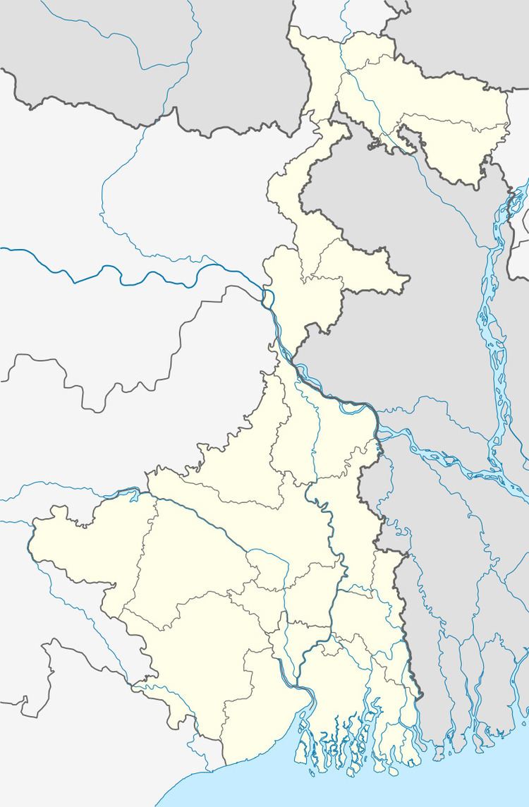
Map of Kalara, West Bengal
Geography
Kalara is located at 22°35′30″N 88°11′47″E
It is broadly subdivided into four zones
- South Kolorah, has a madrasah named Majahirul Ulum Islamia Senior Madrasah, Karbala G M Primary School and Kolorah Haji Abdul Ohab Institution. There is a market named Karbala Bazar and one Primary Health Centre.
- North Kolorah,has a Bazar, Kolorah High School and a Madrasah
- Maddhya (Middle) Kolorah
- New Kolorah
Demographics
As per 2011 Census of India Kalara had a total population of 27,210 of which 14,102 (52%) were males and 13,108 (48%) were females. Population below 6 years was 3,304. The total number of literates in Kalara was 19,309 (80.77 % of the population over 6 years).
As of 2001 India census, Kalara had a population of 23,129. Males constitute 52% of the population and females 48%. Kalara has an average literacy rate of 64%, higher than the national average of 59.5%: male literacy is 68%, and female literacy is 60%. In Kalara, 14% of the population is under 6 years of age.
Most of the people of Kolorah are zari workers and some are tailors by profession, they work in Kolkata Barabazar.