
Population 287 (2006 census) Postcode(s) 6468 Elevation 345 m Postal code 6468 | Established 1929 Founded 1929 Local time Saturday 8:12 AM | |
 | ||
Location 259 km (161 mi) North East of Perth45 km (28 mi) East of Dalwallinu70 km (43 mi) North East of Wongan Hills Weather 17°C, Wind SW at 6 km/h, 80% Humidity | ||
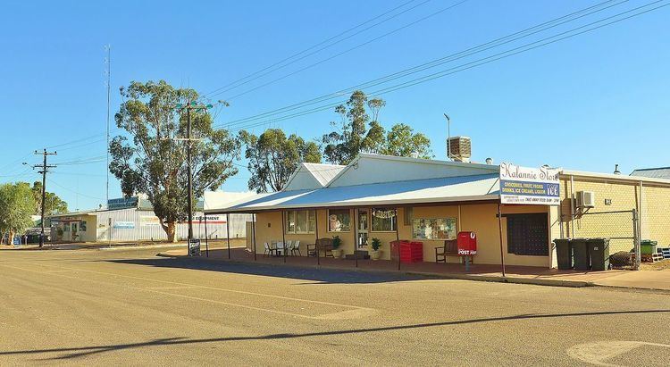
Kalannie is a small town in the Shire of Dalwallinu, in the Wheatbelt region of Western Australia, approximately 259 kilometres (161 mi) north-east of the state capital, Perth.
Map of Kalannie WA 6468, Australia
Kalannie was gazetted as a townsite in 1929. The name is Aboriginal, and is in a list of names from the York area where the meaning is given as "where the Aboriginals got white stone for their spears".
In 1932 the Wheat Pool of Western Australia announced that the town would have two grain elevators, each fitted with an engine, installed at the railway siding.
The main resources in Kalannie are wheat and gypsum. Kalannie is connected to the narrow gauge rail network from a branch-line on the Amery to Bonnie Rock section. The town is a receival site for Cooperative Bulk Handling.