Population 714 (2011 census) Local time Friday 10:47 PM | Postcode(s) 6076 Postal code 6076 | |
 | ||
State electorate(s) Darling Range, Kalamunda Weather 24°C, Wind S at 16 km/h, 66% Humidity | ||
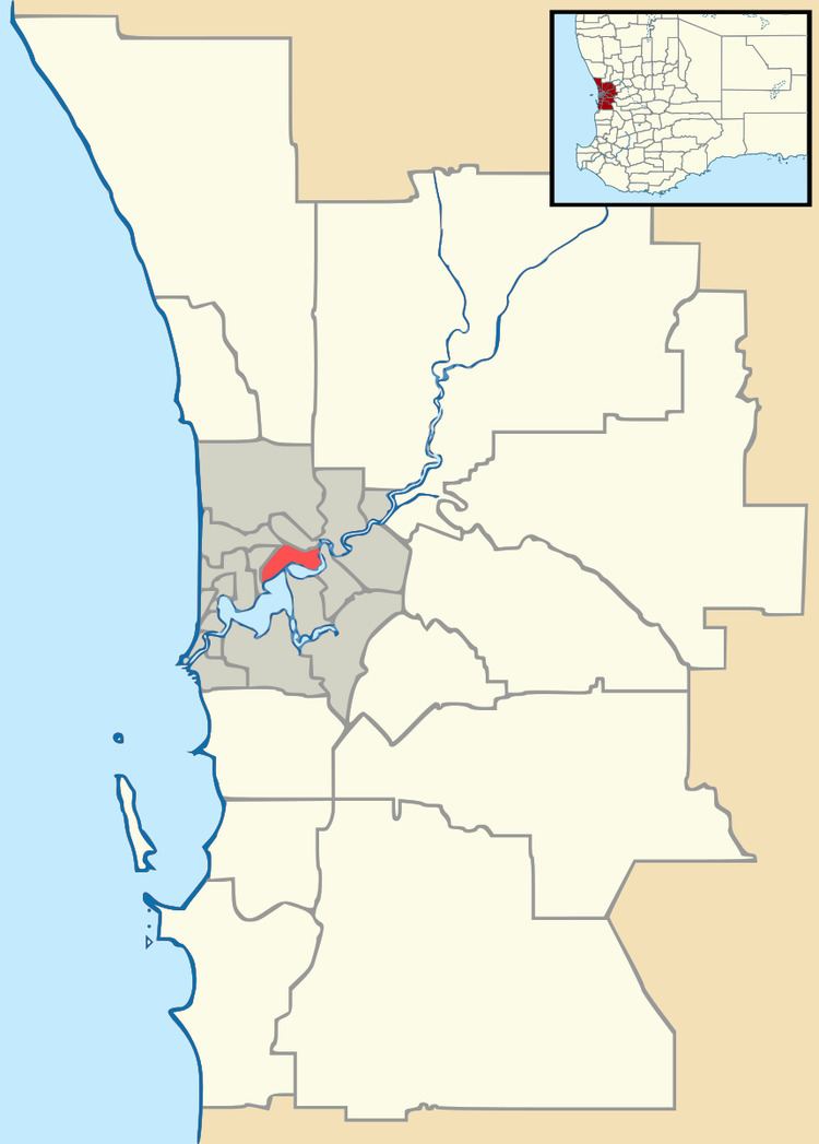
Carmel is a suburb of Perth, Western Australia, located within the Shire of Kalamunda.
Map of Carmel WA 6076, Australia
Prior to 1949 it was a stopping place on the Upper Darling Range Railway. The railway siding was originally known as Green's Landing after Perth businessman Levi Green, who had moved into the area in 1844. In 1915, the name Carmel, meaning "park" or "garden of God" in Hebrew, was adopted.
The transmission tower for Network 10 in Perth is located here.
References
Carmel, Western Australia Wikipedia(Text) CC BY-SA
