
PIN 413507 Elevation 628 m Area code 02473 ISO 3166 code ISO 3166-2:IN | Time zone IST (UTC+5:30) Telephone code 02473 Population 23,022 (2001) Local time Saturday 5:22 AM | |
 | ||
Weather 23°C, Wind NW at 10 km/h, 37% Humidity Neighborhoods Gandhi Nagar, Kadam Wada, Jijau Nagar, Datt Nagar, Ekata Nagar | ||
Kalamb (Kallam) is a town with a municipal council in Osmanabad district in the Indian state of Maharashtra. Administratively it is part of and headquarters for the Kalamb Tahsil.
Contents
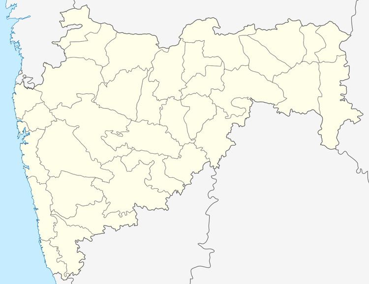
Map of Kalamb, Maharashtra
Geography
Kalamb is located on the right (south) bank of the Manjira River, just west of the Manjira Dam Reservoir. It has an elevation of 647 metres (2,123 ft).
Demographics
In the 2011 India census, Kalamb had a population of 8,35713. Males constituted 52.6% of the population and females 47.4%. Kalamb had an average literacy rate of 73.7%, higher than the national average of 64%: male literacy was 78%, and female literacy was 68%. In 2011 in Kalamb, 13.7% of the population was under 6 years of age.
Politics
Local MLA is Mr. Ranajagjitsinha Patil, NCP
Economy
In Kalamb is primarily an agriculture market town, but it has a small textile industry.