
Local time Saturday 1:22 AM | Elevation 1,200 m | |
 | ||
Weather 18°C, Wind E at 3 km/h, 88% Humidity | ||
Kakuuto is a town in southwestern Central Uganda.
Contents
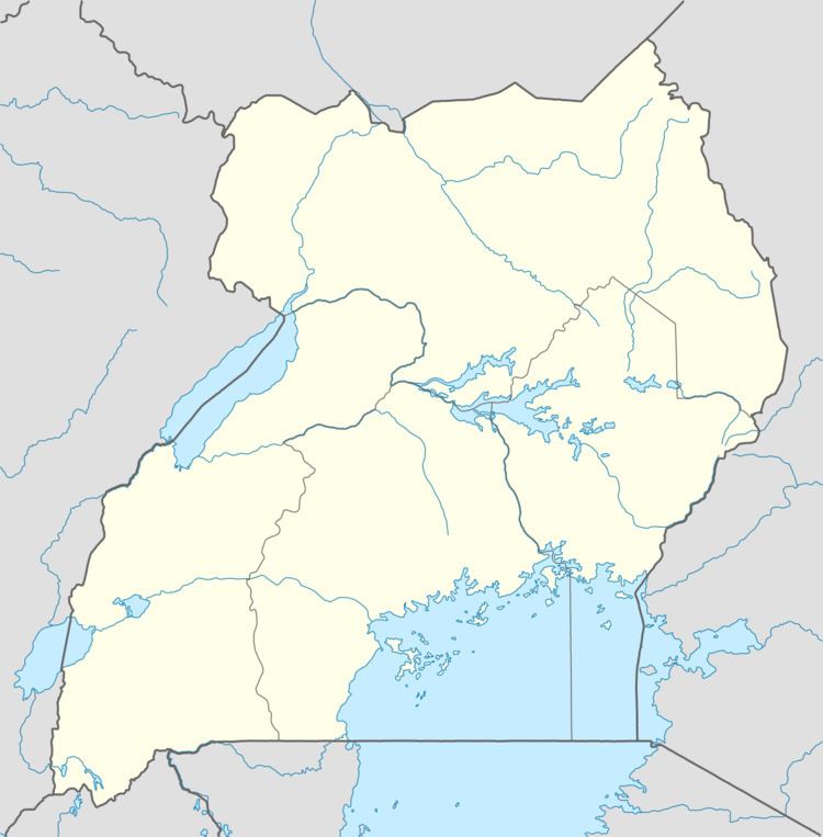
Map of Kakuuto, Uganda
Location
Kakuuto is located in Rakai District, approximately 80 kilometres (50 mi), by road, south of Masaka, the largest city in the sub-region. This location lies immediately west of the highway between Masaka and the border town of Mutukula, at an elevation of 1,200 metres (3,900 ft), above sea level. Mutukula, the border town between Uganda and Tanzania, lies approximately 17 kilometres (11 mi), by road, south of Kakuuto. The coordinates of Kakuuto are:0°50'24.0"S, 31°27'36.0" (Latitude:-0.8400; Longitude:31.4600).
Overview
Kakuuto is a small, town in southern Rakai District. It is the county seat of Kakuuto County. The surrounding area is primarily rural and poor. The population of the area has been greatly adversely affected by the HIV/AIDS epidemic over the past three decades. With the help of charities and NGO's, the town and region is slowly recovering.
Points of interest
The following points of interest lie within the town or close to the town limits: