
Elevation 1,180 m | Local time Saturday 12:49 AM | |
 | ||
Weather 19°C, Wind SE at 5 km/h, 90% Humidity | ||
Kakiri is a town located in Wakiso District in the Central Region of Uganda.
Contents
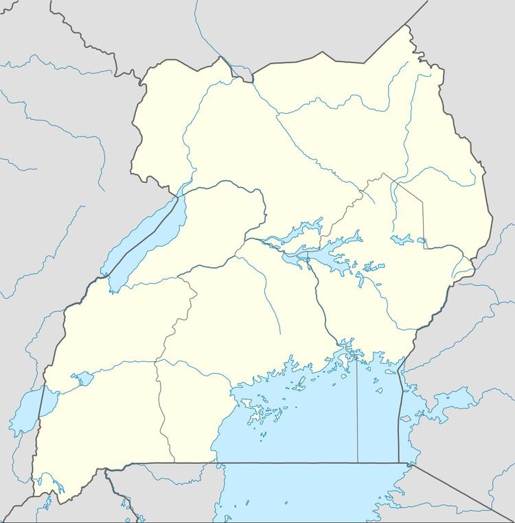
Map of Kakiri, Uganda
Location
Kakiri is approximately 30 kilometres (19 mi), by road, northwest of Kampala, the capital of Uganda. The town is located on the highway between Kampala and Hoima. The coordinates of Kakiri are 0°25'12.0"N, 32°23'24.0"E (Latitude:0.4200; Longitude:32.3900).
Overview
Kakiri is the site of the headquarters of the first division of the Uganda People's Defence Force. It is also the hometown of Gilbert Bukenya, who represents the town and the surrounding constituency of Busiro North in the parliament of Uganda and is a former vice president of Uganda.
Population
In 2002, the national population census put the population of the town at about 4,200. In 2010, the Uganda Bureau of Statistics (UBOS) estimated the population at 5,800. In 2011, UBOS estimated the population at 6,000 inhabitants. In 2014, the national population census put the population at 19,449.
Points of interest
The following additional points of interest lie in Kakiri or near the town limits: