
PIN 522301 Elevation 11 m Population 2,500 (2011) | Time zone IST (UTC+5:30) Telephone code 08644 Local time Saturday 2:57 AM Area code 08644 | |
 | ||
Weather 27°C, Wind S at 6 km/h, 87% Humidity | ||
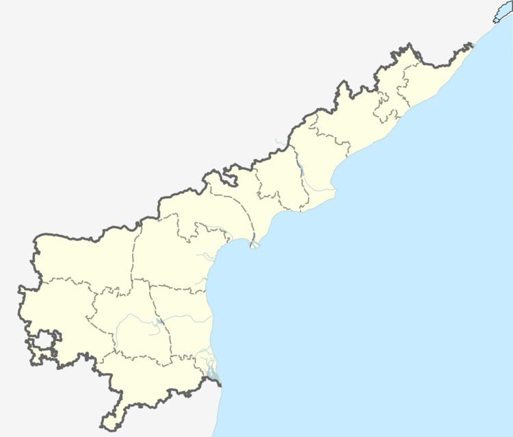
Kakarlamudi is a village in the Guntur district of the Indian state of Andhra Pradesh. It is located in Vemuru mandal of Tenali revenue division.
Contents
Map of Kakarlamudi, Andhra Pradesh
Geography
Kakarlamudi is located at 14.25° N 80.58° E. It has an average elevation of 11 metres (36 ft).
Government and politics
Kakarlamudi gram panchayat is the local self-government of the village. The elected members of the gram panchayat is headed by a sarpanch. The sarpanch of the villages was awarded Nirmala Grama Puraskaram for the year 2013.
References
Kakarlamudi Wikipedia(Text) CC BY-SA