
Local time Saturday 3:21 AM | Area 4,488 km² | |
 | ||
Country People's Republic of China Weather 1°C, Wind NW at 14 km/h, 76% Humidity | ||
Kailu County (Mongolian: ᠺᠠᠶᠢᠯᠦ ᠰᠢᠶᠠᠨ Каыилү сиыан Ḵayilü siyan; simplified Chinese: 开鲁县; traditional Chinese: 開魯縣; pinyin: Kāilǔ Xiàn) is a county in the east of Inner Mongolia, People's Republic of China. It is under the administration of Tongliao City, 76 kilometres (47 mi) to the east, and China National Highway 303 passes through it.
Contents
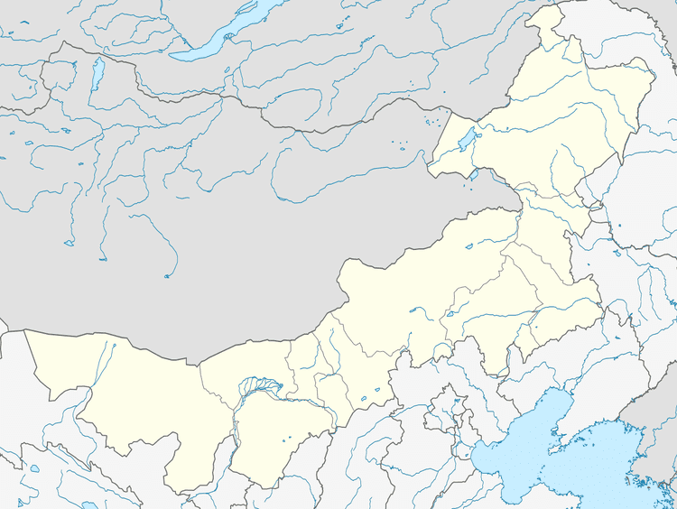
Map of Kailu, Tongliao, Inner Mongolia, China
History
As the traditional seat of Ar Khorchin, East Jaruud and West Jaruud, the 3 areas are abbreviated in Chinese as the 3 R's since each contains the word R transcribed as "LU" in Chinese. The 3 R's was then known as the 3 Lu's as well. In 1905, with the slogan of developing the 3 R's (開發三魯), the city took the name of such abbreviation and was named 開魯 (KAI LU).
Climate
Kailu County features a cold semi-arid climate (Köppen BSk), marked by long, very cold and dry winters, hot, somewhat humid summers, and strong winds, especially in spring. The monthly daily mean temperature in January, the coldest month, is −13.3 °C (8.1 °F), and in July, the warmest month, 24.1 °C (75.4 °F), with the annual mean at 6.58 °C (43.8 °F). The annual precipitation is 327 millimetres (12.9 in), with nearly half of it falling in July and August alone.