
Time zone EET (UTC+2) Licence plate 06 Elevation 890 m Local time Saturday 2:56 PM | Region Central Anatolia Postal code 06980 Website www.kazan.gov.tr Area 470 km² Area code 0312 | |
 | ||
Weather 12°C, Wind NE at 11 km/h, 49% Humidity | ||
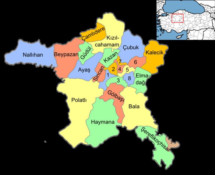
Kahramankazan (previously named Kazan) is a town and district of Ankara Province in the Central Anatolia region of Turkey, standing on the plain of Akıncı to the north west of the city of Ankara. According to 2010 census, population of the district is 39,537 of which 37,718 live in the town of Kazan. The district covers an area of 408 km2 (158 sq mi), and the average elevation is 890 m (2,920 ft).
Contents
Map of Kazan, 06980 Kazan%2FAnkara, Turkey
History
Archaeological research reveals the plain has a long past, going back to prehistoric times, and findings during the excavation of the Bitik Höyük mound date back to the copper age.
Kazan today
Today the area is a popular weekend retreat for the people of Ankara, and Kazan is a busy small town, likely to grow as the city draws closer. Industry includes a brewery and a cement factory.
Opened in end November 2011, the Turkish Satellite Assembly, Integration and Test Center (UMET), is situated in Fethiye neighborhood of Kazan.