
Population 2,381 (2004) | Time zone EET (UTC+2) | |
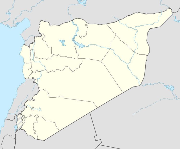 | ||
Kafr Nasij (Arabic: كفر ناسج, also spelled Kafar Nasej) is a village in the al-Sanamayn District of the Daraa Governorate in southern Syria. Nearby localities include al-Tiha to the west, Aqraba and al-Harra to the southwest, Zamrin to the south, Kafr Shams to the southeast, Deir al-Adas to the east and Kanakir to the north. In the 2004 census by the Central Bureau of Statistics (CBS), Kafr Nasij had a population of 2,381.
Contents
Map of Kafar Nasej, Syria
History
A Ghassanid monastery of stylites was located in Kafr Nasij which was part of Batanea during the Byzantine era (4th-7th centuries).
In 1596 Kafr Nasij appeared in the Ottoman tax registers being in the nahiya of Jaydur in the Qada of Hauran. It had an entirely Muslim population consisting of 17 households and 7 bachelors. They paid a fixed tax-rate of 40% on agricultural products, including wheat, barley, summer crops, goats, bee-hives and water mills; in addition to occasional revenues; a total of 17,800 akçe.
During the ongoing Syrian Civil War which began in 2011, pro-government media reported that five opposition rebels were killed and 13 others arrested during a clash with Syrian security forces. The Syrian Center for Documentation reported that clash began when security forces were attacked by opposition gunmen.