
Elevation 800 m | Time zone EET (UTC+2) Local time Sunday 11:02 PM | |
 | ||
Weather 10°C, Wind N at 14 km/h, 63% Humidity | ||
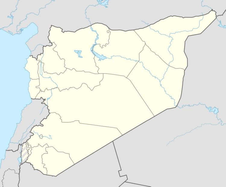
Deir al-Adas (Arabic: دير العدس) is a village in southern Syria, administratively part of the Daraa Governorate. It is situated about 40 kilometers northwest of Daraa. According to the Central Bureau of Statistics (CBS), it had a population of 3,723.
Map of Dayr al 'Adas, Syria
The name means Monastery (deir) of the Lentils (al-'adas).
References
Deir al-Adas Wikipedia(Text) CC BY-SA