
District Maarrat al-Nu'man Occupation Jaish al-Fatah Local time Friday 6:03 PM | Subdistrict Kafr Nabl Elevation 735 m (2,411 ft) Population 15,455 (2004) | |
 | ||
Weather 9°C, Wind SW at 11 km/h, 80% Humidity Neighborhoods Alksarya, Jouni, Al-Watah, Aziziya, Aliear, Alberas | ||
Kafr Nabl (Arabic: كفرنبل, also spelled Kafranbel or Kafr Nabil) is a town administratively belonging to the Idlib Governorate and Ma'arrat al-Numan District in northwestern Syria. It is situated 735 meters (2,411 ft) above sea level. In the 2004 census by the Syrian Central Bureau of Statistics Kafr Nabl had a population of 15,455. In the early 1960s it had a population of about 1,200. Kafr Nabl's inhabitants are predominantly Sunni Muslims.
Contents
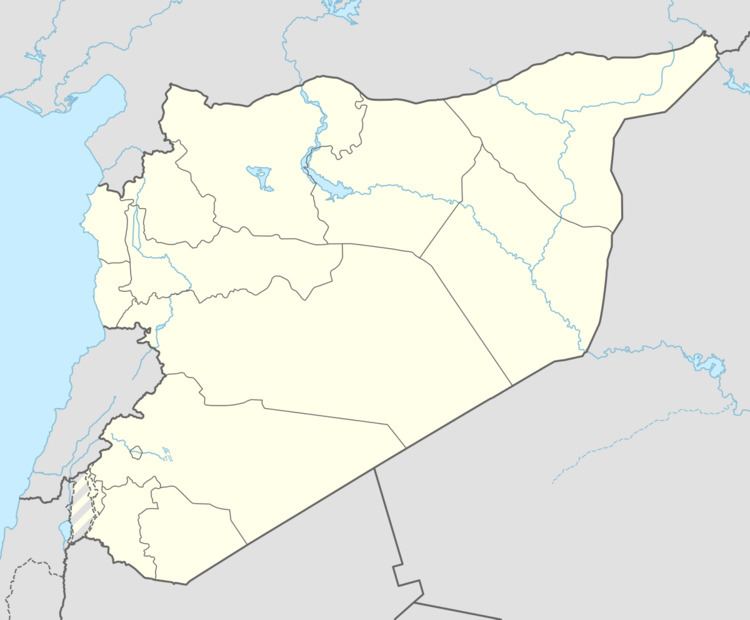
- Map of Kafr Nabl Syria
- Activist describes living in city of kafr nabl controlled by assad s forces
- References
Map of Kafr Nabl, Syria
Kafr Nabl is located on an ancient Byzantine dead city, and is surrounded by some of the most important Dead Cities, such as Serjilla, Shanshrah, and al-Bara.
Before Syrian civil war Kafr Nabl was Syria's largest producer of figs and a major producer of olives. About 3,700 hectares, or 778,000 trees were used for fig cultivation. Roughly 60% of the population were employed in the production and natural processing of the fruit. Farmers in Kafr Nabl did usually dedicate around 80% of their cultivation time to the production of figs and 20% for olives.
Since the civil war, the town has gained fame for producing satirical videos about the war. It belongs to an area controlled by Sunni Islamist Army of Conquest.
Planes of the Russian Air Force, based in Latakia, have begun to attack the city in autumn 2015.