
Country Area 25.88 km2 District | Language spoken State | |
 | ||
Map of Kadiri
Kadiri is a town in the Anantapur district of the Indian state of Andhra Pradesh. It is a municipality, mandal headquarters and also the revenue divisional headquarters Kadiri.
Contents
- Map of Kadiri
- 9 unseen photos of curvy ruth kadiris plenty b00ob
- Kadiri sri lakshmi narasimha swamy temple
- Etymology
- Geography
- Demographics
- Civic Administration
- Economy
- Transport
- Education
- References
9 unseen photos of curvy ruth kadiris plenty b00ob
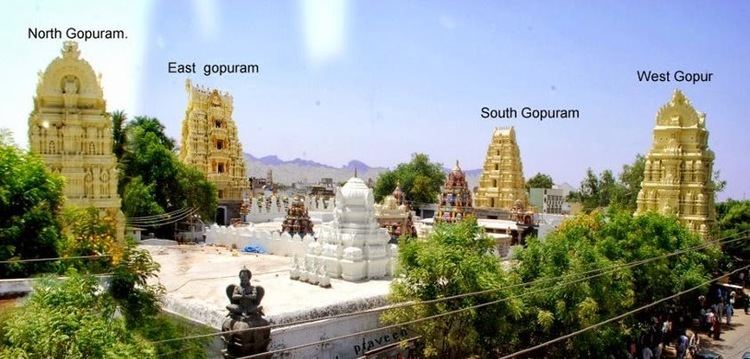
Kadiri sri lakshmi narasimha swamy temple
Etymology
The name Kadiri is an alternative name for the Sanskrit word, Khaadri, meaning canary wood or Indian mulberry (Morinda citrifolia). The town has derived its name from the famous legend of Sri Narasimha Swamy described below, where the Lord emerges from a Khadri tree to rescue his devotee Prahlada. Sri Krishna Devaraya made an effort in building temple for Lord Narasimha which is now being visited by people all over the country.
Geography
Kadiri is located at 14.12°N 78.17°E / 14.12; 78.17. It has an average elevation of 504 metres (1653 ft).
Demographics
As of 2001 India census, Kadiri had a population of 76,261. Males constitute 50% of the population and females 50%. Kadiri has an average literacy rate of 57%, lower than the national average of 59.5%: male literacy is 67%, and female literacy is 46%. In Kadiri, 12% of the population is under 6 years of age. Kadiri is one of the few towns in Andhra Pradesh with a large MUSLIM population of 55% of the town after Hindupur. Hindupur has the largest Muslim population in Anantapur district.
Civic Administration
Kadiri Municipality is the urban local body of the town, which was constituted on 28 August 1964. It has a jurisdictional area of 25.88 km2 (9.99 sq mi) and is classified as a second grade municipality with 36 wards.
Economy
An industrial estate was established under APIIC in 49.29 acres (19.95 ha).
Transport
Kadiri railway station situated on Dharmavarm – Pakala Branch line and got into the mainline, after the 100 year age old MG line was converted into BG. It has many trains, including daily passenger trains running between Guntakal and Tirupati. A daily train runs through Kadiri connecting Hyderabad, the joint capital of Andhra Pradesh(From 2014 to 2024)-Telangana(Permanent) and Tirupati. It also has a weekly train running between Hyderabad and Madurai, Tamil Nadu.
Kadiri is on the National Highway 205, the Anantapur – Chennai road and has scores of buses to Chennai, Bengaluru, Vijayawada and Hyderabad by RTC buses and private travel agencies.
Education
The primary and secondary school education is imparted by government, aided and private schools, under the School Education Department of the state. The medium of instruction followed by different schools are English, Telugu, Urdu. Government Urdu High School is there near Clock Tower which offers Urdu as medium of instructions in Secondary education.