
PIN 285203 Elevation 123 m Area code 05164 | Time zone IST (UTC+5:30) Telephone code 05164 Population 12,658 (2001) Local time Friday 7:37 PM | |
 | ||
Weather 26°C, Wind NW at 10 km/h, 35% Humidity | ||
Friends masti kadaura by mahtab
Kadaura is a town and a Nagar Panchayat in Jalaun District in the Indian state of Uttar Pradesh. In British India, Kadaura was the capital of a princely state which had been granted an 11-gun salute.
Contents
- Friends masti kadaura by mahtab
- Map of Kadaura Uttar Pradesh
- Crowd allahabad bank kadaura distt jalaun
- History
- Geography
- Demographics
- Cuisine
- Culture
- References
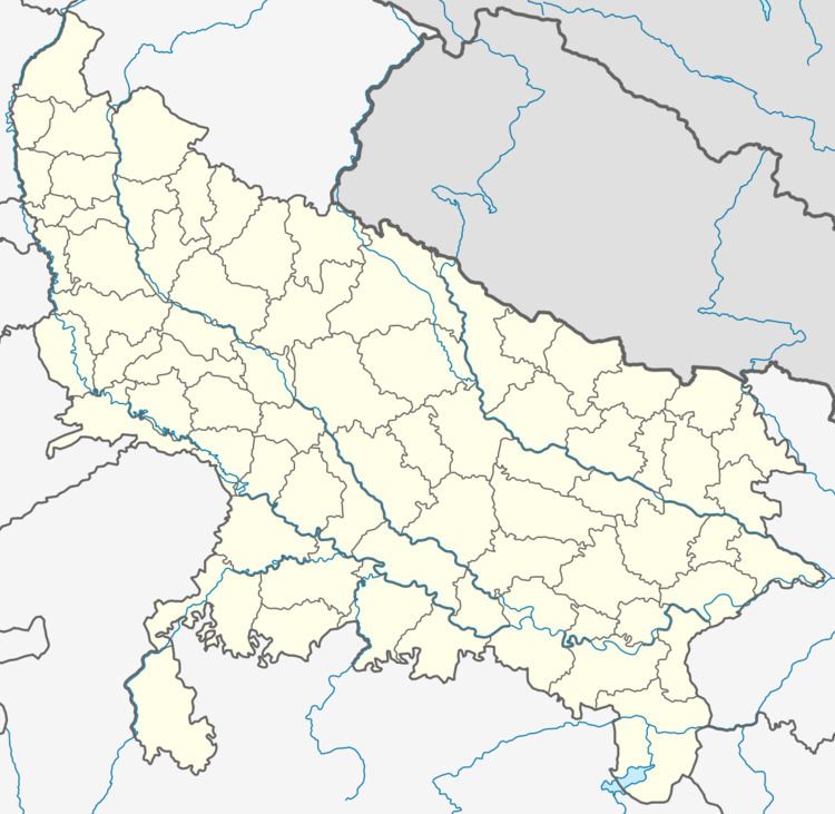
Map of Kadaura, Uttar Pradesh
Crowd allahabad bank kadaura distt jalaun
History
During the British Raj era, Kadaura was the capital of Baoni State. It was one of several princely states of the Bundelkhand Agency and was ruled by descendants of the Asaf Jahi ruling family of former Hyderabad State.
Geography
Kadaura is located at 25.98°N 79.85°E / 25.98; 79.85. It has an average elevation of 9124 metres (30406 feet).
Demographics
As of 2001 India census, Kadaura had a population of 12,658. Males constitute 53% of the population and females 47%. Kadaura has an average literacy rate of 67%, higher than the national average of 59.5%: male literacy is 65%, and female literacy is 48%. In Kadaura, 16% of the population is under 6 years of age. Kadaura market is small.
Cuisine
The main cuisine eaten here is Rice, Daal and Roti.
Culture
Culture is mainly Hindu & Muslim, owing to its past of being a Muslim State, although Hindus live in equal peace and harmony.