
Climate Aw Local time Friday 3:44 PM | Elevation 1,200 m | |
 | ||
Weather 21°C, Wind SE at 11 km/h, 90% Humidity | ||
Kabwoya is a village in Hoima District in the Western Region of Uganda.
Contents
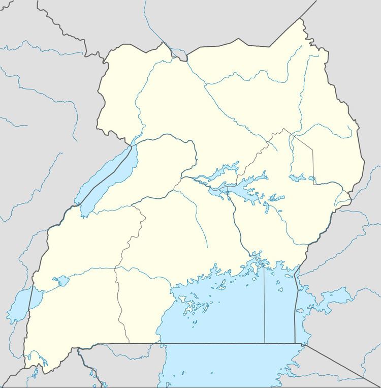
Map of Kabwoya, Uganda
Location
Kabwoya is approximately 46 kilometres (29 mi), by road, southwest of Hoima (2014 population 100,625), the site of the district headquarters and the nearest large town. Kabwoya is also approximately 47 kilometres (29 mi), by road, northeast of Kagadi in neighboring Kibaale District, on the Kyenjojo–Kabwoya Road. The coordinates of Kabwoya are 1°14'43.0"N, 31°04'59.0"E (Latitude:1.245278; Longitude:31.083056).
Overview
The 135 kilometres (84 mi) Kigumba–Masindi–Hoima–Kabwoya Road joins the 103 kilometres (64 mi) Kyenjojo–Kabwoya Road in the middle of Kabwoya.
References
Kabwoya Wikipedia(Text) CC BY-SA