
Elevation 1,180 m | Region Western Uganda Local time Friday 7:22 PM | |
 | ||
Weather 24°C, Wind SE at 6 km/h, 65% Humidity | ||
Kagadi is a town in the Western Region of Uganda. It is the main commercial center in Kibaale District. The district headquarters, however, are in Kibaale.
Contents
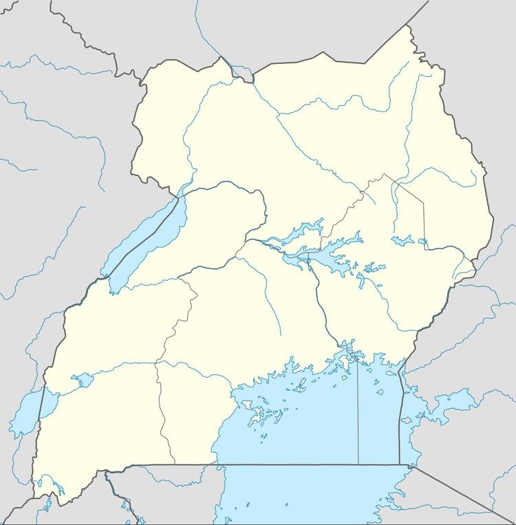
Map of Kagadi, Uganda
Location
Kagadi is in Buyaga County, approximately 95 kilometres (59 mi) southwest of Hoima, the largest town in the Bunyoro sub-region. This is approximately 245 kilometres (152 mi), by road, west of Kampala, Uganda's capital and largest city. The coordinates of the town are:0°56'28.0"N, 30°48'39.0"E (Latitude:0.941111; Longitude: 30.810833).
Population
The 2002 national population census put the population of Kagadi at 13,568. In 2010, the Uganda Bureau of Statistics (UBOS) estimated the population at 20,600. In 2011, UBOS estimated the mid-year population at 21,600. In 2014, the national population census put the population at 22,813.
Points of interest
The following points of interest lie within the town limits or close to its edges: