
Country Uganda Elevation 1,080 m | Local time Friday 2:44 PM | |
 | ||
Weather 27°C, Wind S at 14 km/h, 65% Humidity | ||
Kaberamaido market day
Kaberamaido is a town in Eastern Uganda. It is the main municipal, administrative and commercial center of Kaberamaido District and is the location of the headquarters for the district.
Contents
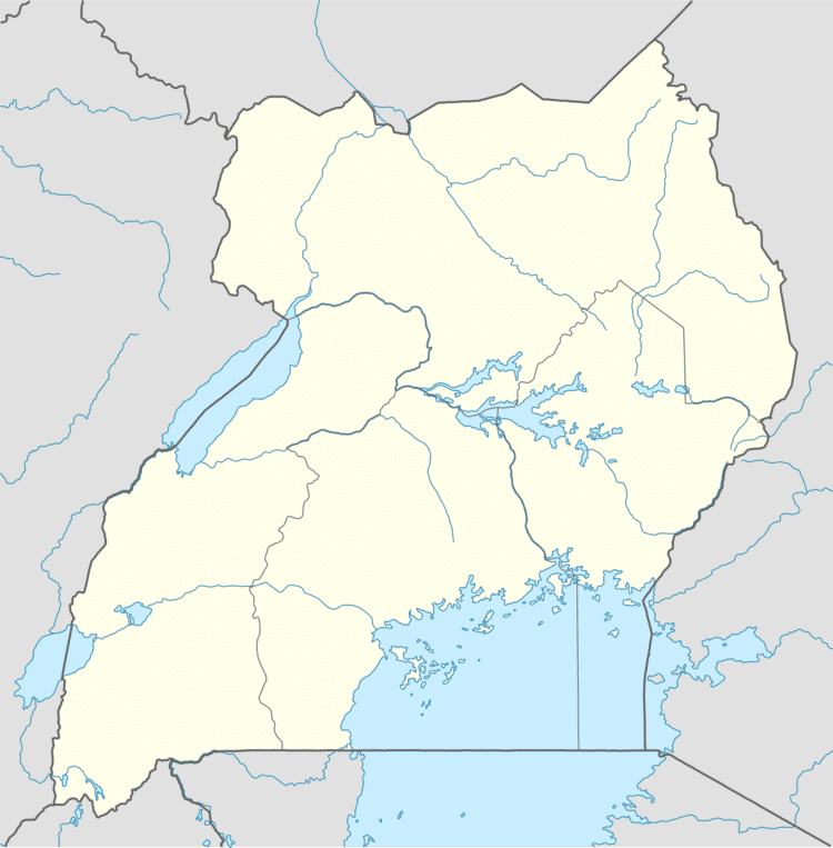
Map of Kaberamaido, Uganda
Location
Kaberamaido is located approximately 163 kilometres (101 mi) by road, northwest of Mbale, the largest city in Eastern Uganda. This location lies approximately 64 kilometres (40 mi), by road, west of Soroti, the largest town in the sub-region. The coordinates of the town are: Latitude: 1.766667 (1° 46' 00.0"N); Longitude: 33.152221 (33° 09' 08.0"E).
Population
In 2002, the national population census estimated the town's population at about 2,350. In 2010, the Uganda Bureau of Statistics (UBOS), estimated the population of the town at about 3,200. In 2011, UBOS estimated the mid-year population of Kaberamaido at 3,400.
Points of interest
The following points of interest lie within the town limits or near the edges of town: